


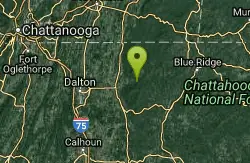
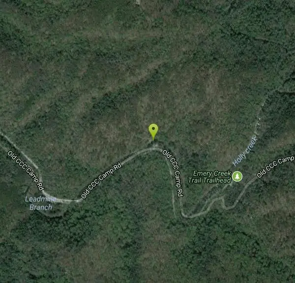
Holly Creek Picnic Area
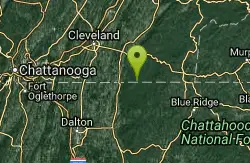
Chatsworth, Georgia
| GPS: |
34°48'49.2"N 84°39'19.1"W Maps | Directions |
| State: | Georgia |
| Trails/Routes: | 0.8 mi |
Canoe, Kayak, and Swim
The Holly Creek Picnic and Swimming area, located near Chatsworth, Georgia, is a beautiful recreation area where visitors have the opportunity to spend most of the day in scenic North Georgia. There is a large picnic area near the river where families and friends can gather after a short hike from the parking area. In the river itself, there is a small swimming hole that is split into a shallow swimming area by some large rocks. The shallow swimming area is about ankle deep and the deeper swimming area that is about chest deep. The water isn't deep enough to jump off of larger rocks, but there are some lower rocks that are accessible to jump off of into the deeper swimming area. Please use caution since this area is rocky and the water is relatively shallow.
Visitors that plan on using the swimming area should plan on using water shoes while swimming in the river because of the sharp, jagged rocks in the riverbed. This area is accessible all year, but the recommended times to visit Holly Creek are from April to October.
For any avid canoers or kayakers that want to explore the rivers of Northern Georgia, Holly Creek is a great place to start. There are many places to canoe or kayak along the river and experience the beauty that the area has to offer.
Holly Creek has a little something for everyone and is a great place to take your family to enjoy a nice, relaxing day in the great outdoors! Whether it is a picnic or taking a dip in the swimming hole, Holly Creek could have everything you are looking for.
More Information
- Plan Ahead and Prepare
- Travel & camp on durable surfaces
- Dispose of waste properly
- Leave what you find
- Minimize campfire impacts
- Respect wildlife
- Be considerate of other visitors
Directions
From Chatsworth, Georgia
- Head south toward S 3rd Ave (118 ft)
- Turn left toward S 3rd Ave (89 ft)
- Turn left onto S 3rd Ave (0.7 mi)
- Turn right onto Old Federal Rd N (0.7 mi)
- Slight right onto Hyden Tyler Rd (2.8 mi)
- Continue onto Old CCC Camp RdDestination will be on the left(5.4 mi)
Trails
Distance ?
0.8 milesElevation Gain ?
15 feetReal Ascent ?
189 feetReal Descent ?
174 feetAvg Grade (0°)
0%Grade (-23° to 31°)
-43% to 61%Elevation differences are scaled for emphasis. While the numbers are accurate, the cut-away shown here is not to scale.
Other Swimming Holes, Canoeing Areas, and Kayaking Areas Nearby
Conasauga Area
Soddy-Daisy, Tennessee
12.5 miles NSwim near Soddy-Daisy, Tennessee
Swim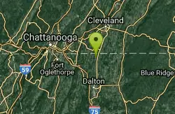
Farmers Lake
Cohutta, Georgia
19.7 miles NWSwim near Cohutta, Georgia
Swim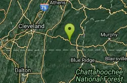
Blue Hole Ocoee
Turtletown, Tennessee
20.5 miles NEGreat family swimming and snorkeling place. Numerous swimming holes in river, some 10-15 ft. deep; jumping and snorkeling, very clear water. Tunnels that one can swim through....
Swim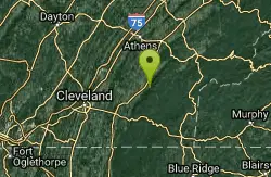
Hiwassee
Benton, Tennessee
29.6 miles NSwim near Benton, Tennessee
Swim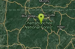
Chattahoochee National Park
Cave Spring, Georgia
31.8 miles ESwim near Cave Spring, Georgia
Swim 2.4 mi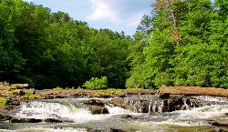
Edge Of The World
Dawsonville, Georgia
36.8 miles SEEdge of the World, known by the locals as the Amicalola River Rapids, is located in Dawsonville, Georgia. It is a popular swimming hole in the greater Atlanta area that attracts visitors from...
Hike, Swim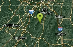
Blue Hole Pigeon
LaFayette, Georgia
39.8 miles WSmall but deep blue-green spring-fed hole, maybe entrance to underground cave. Caving and rock climbing nearby also. You must have a GORP Georgia Outdoor Recreational Pass to...
Swim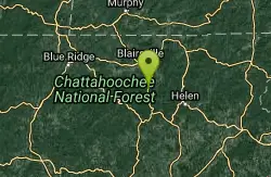
Vogle State Park
Blairsville, Georgia
41.8 miles EVogel State Park is a 233-acre or 94 hectares state park located at the base of Blood Mountain in the Chattahoochee National Forest. It became one of the first two parks in Georgia when it founded a...
Camp, Canoe, Swim
Pooles Mill
Ball Ground, Georgia
43.2 miles SESwim near Ball Ground, Georgia
Swim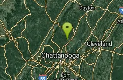
Chickamauga Creek
Soddy-Daisy, Tennessee
43.9 miles NWMany swimming holes along a trail, some beginning as close as 10 minutes walk. Great for families. This is a State Natural Area and CLOSES 7 PM (I think they lock the gate). A...
Swim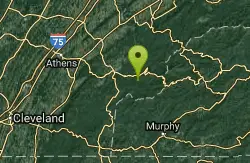
Baby Falls Area
Tellico Plains, Tennessee
44.6 miles NESwim near Tellico Plains, Tennessee
Swim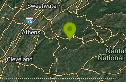
Baby Falls
Tellico Plains, Tennessee
44.6 miles NEThe Tellico River is the home of the Baby Falls waterfall/swimming hole. Although it is beautiful at all times of the year, fall has been said to be one of the most beautiful and favorite times for...
Hike, Kayak, Swim, Whitewater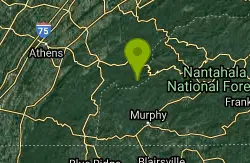
Davis Branch
Tellico Plains, Tennessee
45.0 miles NEDavis Branch is a beautiful campground located in Tennesse by the beautiful Tellico River. Here you can camp, hike, and explore the river. The campground has six different campsites all offering...
Camp, Hike, Swim
Mill Creek
Woodstock, Georgia
48.6 miles SSwim near Woodstock, Georgia
Swim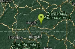
Fires Creek Area
Wake Forest, North Carolina
49.1 miles NESwim near Wake Forest, North Carolina
SwimNearby Campsites
Vogle State Park
Blairsville, Georgia
41.8 miles EVogel State Park is a 233-acre or 94 hectares state park located at the base of Blood Mountain in the Chattahoochee National Forest. It became one of the first two parks in Georgia when it founded a...
Camp, Canoe, Swim
Davis Branch
Tellico Plains, Tennessee
45.0 miles NEDavis Branch is a beautiful campground located in Tennesse by the beautiful Tellico River. Here you can camp, hike, and explore the river. The campground has six different campsites all offering...
Camp, Hike, Swim


