


10 Hiking Trails near Shirley Lake Canyon Trail
first prev 1 next lastShowing Hiking Trails within 50 miles Distance miles of Shirley Lake Trail, Olympic Valley, CA 96146, USA City, Zip, or Address
Shirley Canyon
Olympic Valley, California
0.6 miles NWHike near Olympic Valley, California
Hike
Heath Falls Overlook Trail
Truckee, California
12.6 miles NWHike and Swim near Truckee, California
Hike, Swim
Palisades Creek Trail
Truckee, California
12.6 miles NWThe Palisades Creek Trail is a difficult hike that can be done in a day, but is better enjoyed as an overnight trip. This trail has showcases some beautiful waterfalls along the way as well as...
Hike, Swim 1.5 mi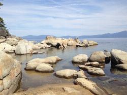
Skunk Harbor
Carson City, Nevada
17.3 miles EThis hike starts from the 28 freeway and follows a forest service road. There are a couple of points where you can get some nice views from the trail. There are some mountain biking trails that can...
Hike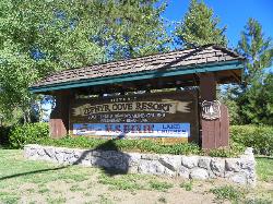
Zephyr Cove Park
Glenbrook, Nevada
20.6 miles SEZephyr Cove Park is located 4.6 miles off highway 50 in Nevada. This park is a great place to have your summer activities; it includes Picnic tables for groups and couples, Barbecue...
Camp, Canoe, Disc Golf, Hike, Horseback, Kayak, Swim 0.4 mi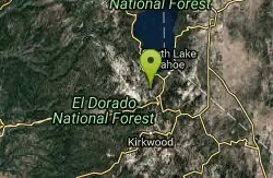
Glen Alpine Falls
South Lake Tahoe, California
23.8 miles SAs you drive up to the falls, take a look around. The views are spectacular. The drive can feel long, but the waterfall is peaceful and worth the drive. This waterfall is considered one of the...
Hike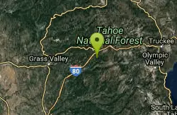
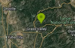
North Fork Falls
Colfax, California
23.9 miles WA very popular hike in the summer time, North Fork Falls offers a pleasant break from the city while enjoying the beautiful Sierra Nevada mountains. Hike into the forest and visitors will find a...
Camp, Hike, Swim 0.1 mi
Edwards Crossing
Nevada City, California
40.7 miles WEdwards Crossing is a popular and easily accessible swimming hole on the Yuba River. The swimming hole is named for Edwards Crossing Bridge which can be viewed from there. The river here is...
Hike, Swim 5.6 mi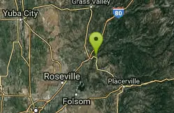
Quarry Trail
Cool, California
46.4 miles SWThis is a hike along the river and an old, historic railway. The trail leads you to a a beautiful amphitheater carved from limestone.You are surrounded by beautiful nature and peaceful...
Hike 1.2-2.7 mi
Lake Clementine Trail Loop
Auburn, California
47.0 miles SWLocated in Auburn, California, Lake Clementine Trail Loop is a hike along the North Fork American River is an easy to moderate trail with an elevation gain of 785 ft. It's wheelchair...
Camp, Canoe, Hike, Kayak, Mountain Bike, Swim


