


16 Hiking Trails near North River Gap
first prev 1 next lastShowing Hiking Trails within 50 miles Distance miles of 9R6Q+9X Mount Solon, VA, USA City, Zip, or Address
Natural Chimneys
Mount Solon, Virginia
4.1 miles ENatural Chimneys is known for its beautiful vertical limestone formations. These formations are coated with trees and vines and surrounded by rushing river water giving visitors an otherworldly view....
Camp, Hike, Mountain Bike, Swim 6.1 mi
Rip Rap Hollow
Crozet, Virginia
24.9 miles SERip Rap Hollow is a secluded swimming hole that makes for a great stop along the 10 mile loop hike in Shenandoah Valley. This is a difficult hike, but for those up to the challenge it provides...
Hike, SwimBullpasture Gorge
Williamsville, Virginia
25.5 miles SWBullpasture Gorge is a beautiful river gorge with 3 miles of accessible white water rapids. These rapids are popular for kayakers and rafters alike.
Canoe, Hike, Kayak, Whitewater
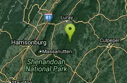
Fridley Gap
Keezletown, Virginia
26.1 miles EThe Mountain Run swimming hole, also known as the Fridley Gap Hole, located just outside of Keezleton, Virginia, is a popular swimming hole located at about the halfway point of a great hiking loop...
Hike, Swim 15.6 mi
Sugar Hollow
Crozet, Virginia
26.9 miles SESugar Hollow Loop is an 11 mile hiking loop that starts and ends and Sugar Hollow Reservoir. While no swimming and boating are allowed at the reservoir, this is a fun place to enjoy the beautiful...
Hike, Swim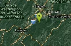
St. Mary's Falls
Raphine, Virginia
29.9 miles SSt. Mary's Falls is a beautiful swimming hole located in St. Mary's Wilderness. This unique swimming hole has beautiful blue green water and unique rock formations. These low rocks provide a...
Hike, Swim
Mint Springs Valley Park
Crozet, Virginia
30.3 miles SEMint Springs Valley Park is a beautiful eight acre park with a variety of activities to enjoy. The park has two small lakes with beaches and is surrounded by forests with miles of trails. The park...
Hike, Mountain Bike, Swim
Pauls Creek
Nellysford, Virginia
34.3 miles SEPaul's Creek Trail is a beautiful short hike to a unique little swimming hole. From the parking lot to the waterfall and back is a quick and easy 1.2 mile hike. This makes this a beautiful hike...
Hike, Swim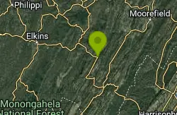
Seneca Falls
Seneca Rocks, West Virginia
34.9 miles NSeneca Falls is a beautiful location near the famous Seneca Rocks. Seneca Falls is the perfect location for a challenging hike, with a beautiful swimming hole for hikers to take a break and cool down...
Hike, Swim 0.3 mi
Big Rock Falls
Syria, Virginia
40.9 miles EBig Rock Falls is an easy hike to a beautiful cascading waterfall. The hike follows Mill Prong River giving hikers a beautiful view of the flowing water, forests and rock formations for the entire...
Hike, Swim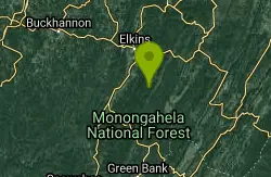
High Falls
Elkins West, Virginia
41.7 miles NWHigh falls is a beautiful waterfall located in West Virginia, and is a popular hike with a spectacular location. The hike is about 7 and a half miles long and takes a little over 4...
Hike, Swim
Rose River
Syria, Virginia
44.2 miles ERose River Falls is a beautiful forested hike in Shenandoah National Park. The lush greenery in this area provides ample shade for hikers as they explore this four mile trail. Rose River Trail is...
Hike, Swim 2.8 mi
Cedar Run Falls
Oldrag, Virginia
44.7 miles ECedar Run Falls is a strenuous but rewarding hiking trail located in central Shenandoah National Park. This over 8 mile trail gives hikers views of six different waterfalls along the trail...
Hike, Swim
Whiteoak Canyon
Syria, Virginia
45.2 miles EWhiteoak Canyon is a beautiful hiking area in Shenandoah National Park. This hike features two very unique waterfalls, Upper Whiteoak Falls and Lower Whiteoak Falls. Lower Whiteoak Falls is...
Hike, Swim
Red Creek
Davis, West Virginia
45.2 miles NRed Creek is a long out and back trail that gives visitors access to a variety of activities in beautiful scenery. The trail is 6.3 miles long and is moderately difficult. Along the way visitors can...
Camp, Hike, Kayak, Swim
Nicholson Hollow Trail
Morning Star, Virginia
46.6 miles ENicholson Hollow Trail is a moderately strenuous trail that explores a more remote area of Shenandoah National Park. Hikers hoping to access this trail can find it off of Skyline Drive between Stoney...
Hike, Swim


