


5 Hiking Trails near High Falls
first prev 1 next lastShowing Hiking Trails within 50 miles Distance miles of Forest Rd 44, Dry Fork, WV, USA City, Zip, or Address
Seneca Falls
Seneca Rocks, West Virginia
21.0 miles ESeneca Falls is a beautiful location near the famous Seneca Rocks. Seneca Falls is the perfect location for a challenging hike, with a beautiful swimming hole for hikers to take a break and cool down...
Hike, Swim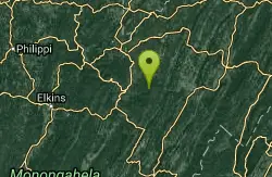
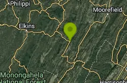
Red Creek
Davis, West Virginia
27.4 miles NERed Creek is a long out and back trail that gives visitors access to a variety of activities in beautiful scenery. The trail is 6.3 miles long and is moderately difficult. Along the way visitors can...
Camp, Hike, Kayak, Swim
Bullpasture Gorge
Williamsville, Virginia
38.1 miles SBullpasture Gorge is a beautiful river gorge with 3 miles of accessible white water rapids. These rapids are popular for kayakers and rafters alike.
Canoe, Hike, Kayak, Whitewater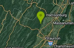
North River Gap
Mount Solon, Virginia
41.9 miles SENorth River Gap is a recreation area between Todd Lake and Stokesville Campground. Though smaller, North River Gap is well worth exploring and enjoying its unique features. One of North...
Camp, Hike, Swim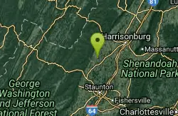
Natural Chimneys
Mount Solon, Virginia
45.2 miles SENatural Chimneys is known for its beautiful vertical limestone formations. These formations are coated with trees and vines and surrounded by rushing river water giving visitors an otherworldly view....
Camp, Hike, Mountain Bike, Swim


