


6 Hiking Trails near Diamond Head
first prev 1 next lastShowing Hiking Trails within 50 miles Distance miles of 3820 Kanaina Ave, Honolulu, HI 96815, USA City, Zip, or Address
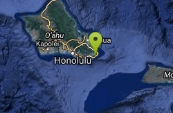
Koko Head Crater
Honolulu, Hawaii
8.7 miles EKoko Head is an old tuff cone measuring 642 feet (196 m) in height. It is quite a bit smaller than its neighboring tuff cone Koko Crater, which measures 1,208 feet (368 m). It is one of the most...
Hike
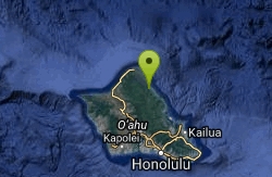
Hau'ula Falls - Sacred Falls State Park
Hauula, Hawaii
24.7 miles NSacred Falls State Park is a 1370 acre park named for the 80 foot waterfall that lies at the end of a narrow canyon within the park. It is located about one mile south of Hau'ula Town, on...
Hike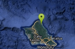
La'ie Falls
Laie, Hawaii
27.4 miles NLa'ie Falls is located near the town of La'ie on the northeastern shore of Oahu. It is accessible via the 7-mile (11.3 km) long (out and back) La'ie Ridge Trail. The waterfall drops 15...
Hike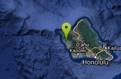
Makaha Valley Trail
Waianae, Hawaii
28.6 miles NWThere are a variety of trails within the Makaha Valley.
Hike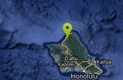
Waimea Falls
Haleiwa, Hawaii
29.2 miles NWThis waterfall is located in Waimea Valley on Oahu’s North Shore, within a park that offers a variety of visitor attractions and activities, such as hula and other cultural demonstrations,...
Hike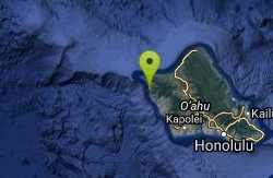
Kaneana Cave
Waianae, Hawaii
31.8 miles NWThis cave is located at the base of a 200-foot outcropping of rock along Farrington Highway. The cave goes back approximately 100 yards and ends. Legend has it that the cave was the home of Nanue,...
Hike


