


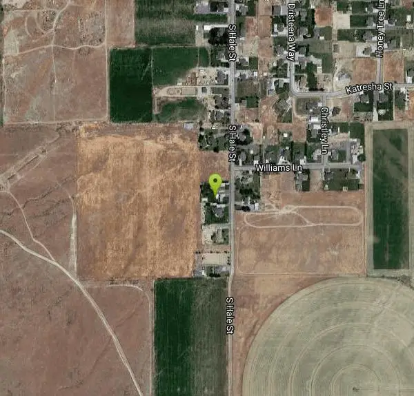
Grantsville Skatepark
Grantsville, Utah
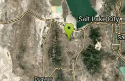
| Address: | 86 E. Hale St., Grantsville, UT, 84074 |
| GPS: |
40°34'48.2"N 112°27'58.6"W Maps | Directions |
| State: | Utah |
Skateboard
More Information
Add Resource- Plan Ahead and Prepare
- Travel & camp on durable surfaces
- Dispose of waste properly
- Leave what you find
- Minimize campfire impacts
- Respect wildlife
- Be considerate of other visitors
Directions
From Grantsville, Utah
- Head east on W Main St toward S Hale St (157 ft)
- Turn right at the 1st cross street onto S Hale St (1.0 mi)
- Turn right to stay on S Hale StDestination will be on the right(0.5 mi)
Other Skateboard Parks Nearby
Tooele City Park
Tooele, Utah
9.5 miles EBowl, concrete, freea and a street course.
Skateboard
Premier Skatepark
West Jordan, Utah
27.8 miles EPremier is an indoor facility with a mini ramp and a street course, and pro shop. For admission prices, directions, or anything else you can think of, call:...
Skateboard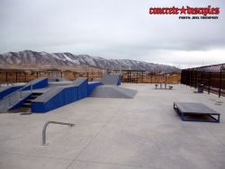
Pony Express Skatepark
Eagle Mountain, Utah
29.6 miles SESkateboard near Eagle Mountain, Utah
Skateboard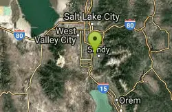
Sandy Skatepark
Sandy, Utah
31.2 miles ESkateboard near Sandy, Utah
Skateboard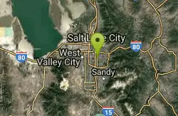
The Connection Skatepark
South Salt Lake, Utah
31.3 miles E14,600 sq. ft. indoor park includes: mini ramp, pro shop, street course, pads required and a membership and/or fee is required to skate....
Skateboard
Union Skate Park
Sandy, Utah
31.5 miles EOpen From 10 AM to 10 PM Mon-Sat. 10 Am to 6 PM Sunday. $5.00 for 3 hours
Skateboard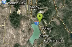
Proving Grounds Skatepark
Pleasant Grove, Utah
40.8 miles E32,000 sq. ft. indoor park including: bowl, mini ramp, pro shop, street course, and a membership/fee and pads required to skate.
Skateboard 0.7-2.0 mi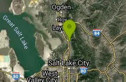
Farmington Creek trail
Farmington, Utah
41.1 miles NEThe Farmington Creek trail is a unique pathway that allows access to many different points of interest such as; Farmington pond, Lagoon, and Farmington Station mall. the Farmington pond route is...
Hike, Mountain Bike, Skateboard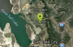
Layton City Skate Park
Layton, Utah
41.6 miles NELooks good if you like bowls and clovers.
Skateboard
Hill AFB Skatepark
Hill Air Force Base, Utah
44.2 miles NESkateboard near Hill Air Force Base, Utah
SkateboardNearby Campsites

Antelope Island State Park
Syracuse, Utah
33.2 miles NLocated just 41 miles north of Salt Lake City, Antelope Island State Park encompasses a vast selection of outdoor activities and spectacular scenery providing a peaceful nature experience. Experience...
Backpack, Camp, Hike, Horseback, Mountain Bike 5.6 mi
Antelope Island Lakeside Trail
Syracuse, Utah
33.6 miles NThe Lakeside Trail is a kid-friendly trail with great views and many bugs. This is a gorgeous scenic hike winding around part of the Great Salt Lake. The trail on Antelope Island that runs about...
Camp, Hike, Horseback
Holbrook Trailhead
Bountiful, Utah
38.6 miles NEairsoft feaild woth bunkers
Airsoft, Backpack, Camp, Paintball, Snowshoe
Mill Creek Canyon
Salt Lake City, Utah
40.3 miles EMill Creek is an out and back with over 1000 ft of elevation gain. The lower section of the ski trail gets a lot of foot traffic, but the upper section (above Elbow Fork) is generally very quiet....
Camp, Cross-country Ski, Snowshoe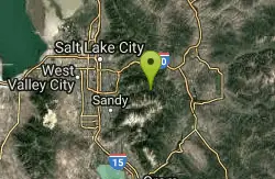
Spruces Campground
Salt Lake City, Utah
43.6 miles ECamping isn't free. See USDA.gov for details. If you know the coordinates of the sledding hill here, please comment.
Camp, Sled 1.6-14.1 mi
Mount Timpanogas
Provo, Utah
44.7 miles EMt. Timp, as the locals call it, is the 2nd highest mountain in the Wasatch range (only Mt. Nebo is higher). What sets "Timp" apart is its location. It towers over the Provo, Orem, Pleasant...
Camp, Hike, Horseback, Swim


