


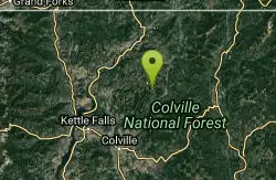
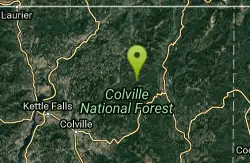
Gillete Ridge Trail System
Colville, Washington
| GPS: |
48°44'31.8"N 117°44'25.4"W Maps | Directions |
| State: | Washington |
Hike, Horseback, and Mountain Bike
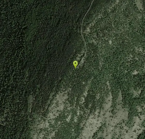
Gillette Ridge Trail is a 13.1 mile trail located in the state of Washington and is rated as difficult. The trail is primarily used for hiking & mountain biking and is accessible from March until September.
More Information
Add ResourceNever modify trail features. Ride trails when they're dry enough that you won't leave ruts. Speak up when you see others on the trail and always yield to hikers, horses, and others coming uphill. Always ride on the established trail.
Read MoreBe courteous, informed, and prepared. Read trailhead guidelines, stay on the trail, and don't feed the wildlife.
Read More- Plan Ahead and Prepare
- Travel & camp on durable surfaces
- Dispose of waste properly
- Leave what you find
- Minimize campfire impacts
- Respect wildlife
- Be considerate of other visitors
Directions
From Colville, Washington
- Head north on N Maple St toward E 2nd Ave (0.1 mi)
- Turn left at the 2nd cross street onto E 3rd Ave (0.2 mi)
- Turn right at the 3rd cross street onto US-395 N/N Main StContinue to follow US-395 N(0.4 mi)
- At the traffic circle, take the 1st exit onto US-395 W (1.7 mi)
- Turn right onto Echo Valley Rd/Williams Lake RdContinue to follow Williams Lake Rd(5.8 mi)
- Turn right onto Douglas Falls Rd (0.2 mi)
- Continue onto Clugston Creek-Onion Creek Rd/Onion Creek Rd (11.9 mi)
- Turn right onto Lotze Creek Rd/Van Stone-Onion Rd (0.7 mi)
- Continue straight onto Van Stone Mine Rd (1.9 mi)
- Continue straight (0.6 mi)
- Turn right (0.4 mi)
- Turn left (1.1 mi)
- Slight right (2.2 mi)
- Turn right onto NF-500 (1.3 mi)
Directions from Colville: Travel east on Hwy. 20 for approximately 1 mile. Turn north onto County Rd 9435. Continue on this road for 19 miles. Turn off onto Forest Service Rd 500 and follow this for 6.4 miles to the trailhead.
Other Mountain Bike Trails, Hiking Trails, and Horseback Trails Nearby
Meadow Creek Trail and Lakeshore Trail
Ione, Washington
8.0 miles EThe first 0.8 miles of this 1.5 mile trail are barrier-free. Trail activities include wildlife viewing, and fishing. Meadow Creek Trail links to a 0.8 mile side trail to a replica of a homestead...
Hike 0.2 mi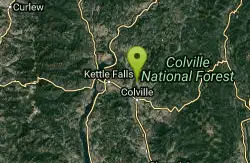
Douglas Falls
Colville, Washington
11.4 miles SWLocated in Douglas Falls Grange Park, Douglas Falls is a scenic and beautiful place along Mill Creek. In order to get to the falls, you go to the Park and do the Nature...
Camp, Hike, Swim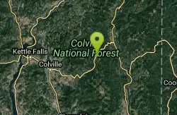
Lake Gillette Campground
Colville, Washington
12.9 miles SE3200ft elevation. 30 campsites located nearby Lake Gillette, and a multi-use trail for ORV's, hikers and bicycle riders. Other area activities include hiking and horse riding area trails,...
Camp, Hike, Swim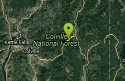
Frater Lake Trail and Lake Leo Trail
Colville, Washington
13.1 miles SEThe Frater Lake Trail system includes a series of loop trails. The 1.8 Tiger Loop follows the southern and eastern shores of Frater Lake. A clockwise travel direction is suggested for the steeper...
Cross-country Ski, Hike, Horseback, Mountain Bike, Snowshoe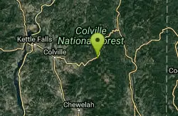
Flodelle Creek
Colville, Washington
15.6 miles SECamping near the Little Pend Oreille River. Nearby winter snopark run by the Forest Service offers groomed ski & cross country trails.
Atv/motorcycle, Camp, Hike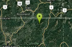
Abercrombie Mountain Trail 117
Colville, Washington
17.6 miles NEAbercrombie Mountain Trail No. 117 angles uphill through cool forest and soon begins switchbacking to gain more than 900 feet of elevation in the 1.5 miles to the junction with Silver Creek Trail...
Hike, Horseback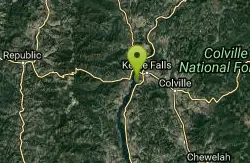
Old Kettle Falls Park
Kettle Falls, Washington
20.2 miles SWWalking the trail to the Kettle Falls swim beach and you’ll most likely see birds, trees and wildlife. But if you take a detour through the Locust Grove group site, you’ll find a few...
Camp, Hike, Swim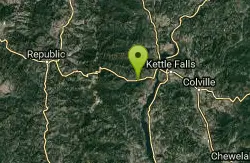
Canyon Creek Campground
Kettle Falls, Washington
25.4 miles SW1150ft elevation. 9 small campsites in a secluded forested area near Canyon Creek. Quiet area where you can try fishing in the creek. Hunting in season.
Camp, Hike 3.0 mi
Lionhead Natural Water Slide
Coolin, Idaho
46.0 miles EIn the lush forest just outside of Priest Lake, you’ll find a perfectly formed, natural water slide, set at just the right angle for endless hours of summer fun. Just grab a trash bag...
Hike, SwimNearby Campsites

Big Meadow Lake Campground
Ione, Washington
8.2 miles EThis campground is equipped with tent/trailer sites, interpretive trails, boat launch, and a nice fishing dock. Some campsites are private and some with a lake view. This campground is good for...
Camp 0.2 mi
Douglas Falls
Colville, Washington
11.4 miles SWLocated in Douglas Falls Grange Park, Douglas Falls is a scenic and beautiful place along Mill Creek. In order to get to the falls, you go to the Park and do the Nature...
Camp, Hike, Swim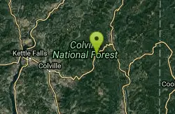
Lake Thomas Campground
Colville, Washington
12.4 miles SE3200ft elevation. 16 tree shaded campsites for tents and a few small trailers is located on a small hill close to the lake. Trail access for hiking is nearby. Other activities include fishing,...
Camp, Canoe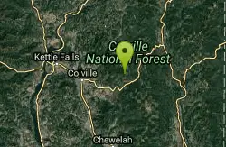
Little Twin Lakes Campground
Colville, Washington
12.5 miles S3700ft elevation. 20 campsites situated on both sides of the lake. Some campsites have great views of the lakes and wildlife. The Day-use area is good for viewing wildlife. Boating both motor and...
Camp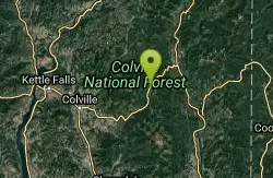
Beaver Lodge Campground and Resort
Colville, Washington
12.6 miles SEBeaver lodge resort is nestled in Colville National Forest and located on beautiful Lake Gillette, one of four interconnected lakes of the Little Pend Oreille Lakes chain. Our resort is open year...
Camp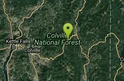
Lake Leo Campground
Colville, Washington
12.7 miles SE3200ft elevation. 8 campsites located near the lakeshore, some with lake views and all in the trees. Activities include fishing, canoeing, and motorboating.
Camp
Lake Gillette Campground
Colville, Washington
12.9 miles SE3200ft elevation. 30 campsites located nearby Lake Gillette, and a multi-use trail for ORV's, hikers and bicycle riders. Other area activities include hiking and horse riding area trails,...
Camp, Hike, Swim
Flodelle Creek
Colville, Washington
15.6 miles SECamping near the Little Pend Oreille River. Nearby winter snopark run by the Forest Service offers groomed ski & cross country trails.
Atv/motorcycle, Camp, Hike
Kettle River Campground
Kettle Falls, Washington
17.5 miles WAlso called "Kettle Falls Campground" is on the northern section of Lake Roosevelt and convenient to the town of Kettle Falls. The facility has a multi-lane boat launch, making it popular among...
Camp
Locust Grove Campground
Kettle Falls, Washington
20.1 miles SWKettle Falls Locust Grove Group Site is on the northern section of Lake Roosevelt and convenient to the town of Kettle Falls. The facility is 0.25 miles away from the main Kettle Falls Campground,...
Camp
Old Kettle Falls Park
Kettle Falls, Washington
20.2 miles SWWalking the trail to the Kettle Falls swim beach and you’ll most likely see birds, trees and wildlife. But if you take a detour through the Locust Grove group site, you’ll find a few...
Camp, Hike, Swim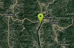
Haag Cove Campground
Kettle Falls, Washington
22.4 miles SWHaag Cove Campground is a Park & Garden in Kettle Falls. /p>
Camp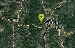
Trout Lake Campground
Kettle Falls, Washington
24.2 miles WTrout Lake Creek Campground is a primitive campground. The access road is rough and not recommended for trailers or motor homes.
Camp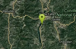
Bradbury Beach
Kettle Falls, Washington
24.3 miles SWA large swimming hole with a central floating dock has been buoyed off. The water here tends to be warmer and moving slower than other parts of the lake, which makes for a more enjoyable time. There...
Camp, Swim
Canyon Creek Campground
Kettle Falls, Washington
25.4 miles SW1150ft elevation. 9 small campsites in a secluded forested area near Canyon Creek. Quiet area where you can try fishing in the creek. Hunting in season.
Camp, Hike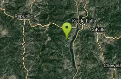
Lake Ellen Campground
Kettle Falls, Washington
28.9 miles SWThis is a rustic campground with a single, teardrop shaped loop on the east end of Lake Ellen. Cottonwood, Douglas fir and other conifers and deciduous trees form the overstory and provide ample...
Camp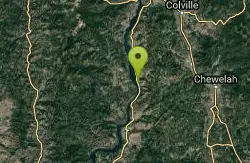
Cloverleaf Campground
Gifford, Washington
36.0 miles SWCloverleaf Campground is located west of St. Charles, ID and has 15 single units and 4 double units. It sits on the banks of the St. Charles Creek and North Fork. It offers drinking water,...
Camp, Swim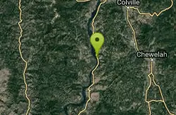
Gifford Campground
Gifford, Washington
36.4 miles SWGifford Group Site is along the shoreline of Lake Roosevelt, adjacent to the main Gifford Campground. It offers spectacular views of the lake from every vantage point. The facility is composed of...
Camp
Hunters Campground
Hunters, Washington
48.3 miles SWHunters Group Site sits along the northern shoreline of Lake Roosevelt. The facility is popular among groups of hunters and fishermen, but is also comfortable for families and other groups of up to...
Camp


