


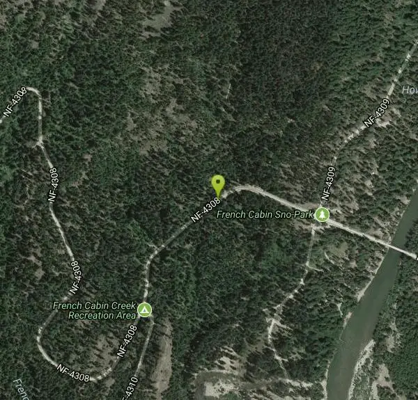
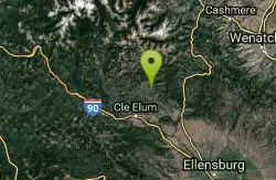
French Cabin Creek
Ronald, Washington
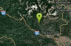
| GPS: |
47°21'24.2"N 121°6'44.5"W Maps | Directions |
| State: | Washington |
Swim
Bathing suits: May be optional
More Information
- Plan Ahead and Prepare
- Travel & camp on durable surfaces
- Dispose of waste properly
- Leave what you find
- Minimize campfire impacts
- Respect wildlife
- Be considerate of other visitors
Directions
From Ronald, Washington
- Head southwest on Pacific Ave toward 2nd St (95 ft)
- Turn right at the 1st cross street onto WA-903 N/2nd StContinue to follow WA-903 N(3.2 mi)
- Continue onto Salmon La Sac Rd (6.9 mi)
- Turn left onto NF-4308 (0.4 mi)
Other Swimming Holes Nearby
Teanaway River
Cle Elum, Washington
12.8 miles SESwim near Cle Elum, Washington
Swim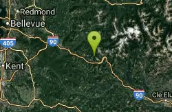
island lake
North Bend, Washington
19.5 miles WIf you want to shed the crowds while still exploring the wonderful routes of the western Snoqualmie Pass region, this might be the destination to consider. Sure, you'll have to share the first...
Camp, Hike, Swim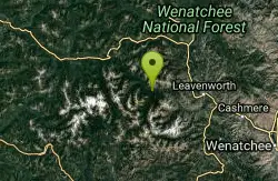
Rock Island
Leavenworth, Washington
19.6 miles NESwim near Leavenworth, Washington
Swim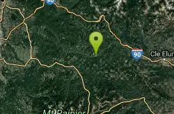
Green River Area
Ronald, Washington
20.1 miles SWSeveral informal swimming places in Upper Green River east of Seattle and North Bend... Bathing suits: Optional
Swim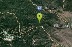
Rainier East Area
Naches, Washington
22.9 miles SSwim near Naches, Washington
Swim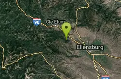
Taneum Creek
Thorp, Washington
23.2 miles SEThis from a fan:"Popular swimming hole with a deep pool in the front creek and a great wide shallow play area directly across and above the creek." Bathing...
Swim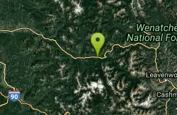
Jade Lake
Skykomish, Washington
25.1 miles NJade Lake is a beautiful treasure of a lake located in the Snoqualmie region of Washington. This trail is about 26 miles and is usually done as an over night backpacking trip. This hike will take...
Backpack, Camp, Swim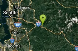
Snoqualmie River Area
Leavenworth, Washington
31.9 miles WPopular unoffical swimming areas in Snoqualmie River and nearby. BE CAREFUL OF CURRENTS HERE - DO NOT GO IN IF CURRENT IS STRONG! PEOPLE HAVE DROWNED IN THESE PLACES RECENTLY....
Swim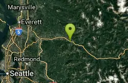
Skykomish Area
Leavenworth, Washington
41.8 miles NWSwim near Leavenworth, Washington
SwimNearby Campsites
island lake
North Bend, Washington
19.5 miles WIf you want to shed the crowds while still exploring the wonderful routes of the western Snoqualmie Pass region, this might be the destination to consider. Sure, you'll have to share the first...
Camp, Hike, Swim
Jade Lake
Skykomish, Washington
25.1 miles NJade Lake is a beautiful treasure of a lake located in the Snoqualmie region of Washington. This trail is about 26 miles and is usually done as an over night backpacking trip. This hike will take...
Backpack, Camp, Swim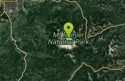
Mount Rainer
Ashford, Washington
44.8 miles SWAscending to 14,410 feet above sea level, Mount Rainier stands as an icon in the Washington landscape. An active volcano, Mount Rainier is the most glaciated peak in the contiguous U.S.A., spawning...
Camp, Hike, Mountain Bike


