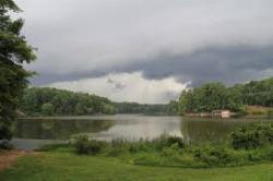
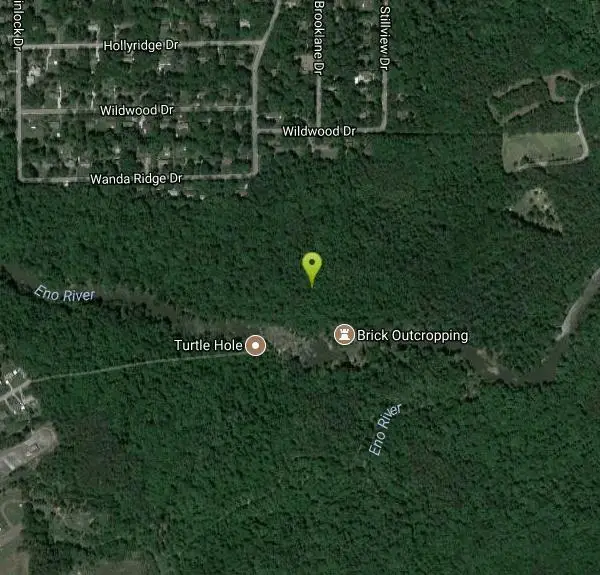
Eno River Area
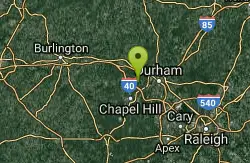
Durham, North Carolina
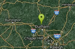
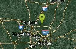
5.1 miles N of Durham, North Carolina
| GPS: |
36°4'12.4"N 78°55'6.5"W Maps | Directions |
| State: | North Carolina |
Swim
More Information
- Plan Ahead and Prepare
- Travel & camp on durable surfaces
- Dispose of waste properly
- Leave what you find
- Minimize campfire impacts
- Respect wildlife
- Be considerate of other visitors
Directions
From Durham, North Carolina
- Head southeast on E Main St toward US-70 BUS E (72 ft)
- Turn left at the 1st cross street onto N Roxboro St (449 ft)
- Continue straight to stay on N Roxboro St (1.5 mi)
- Turn left to merge onto I-85 S/US-15 S/US-70 W toward Greensboro (2.0 mi)
- Take exit 175 for NC-157 N/Guess Rd (0.3 mi)
- Turn right onto NC-157 N/Guess Rd (3.8 mi)
- Turn right onto Latta Rd (0.7 mi)
- Turn right onto Lochaven Dr (0.4 mi)
to add photos & videos and suggest edits
Edit Review
Delete Review
Other Swimming Holes Nearby
Add Location
New Hope Creek
Durham, North Carolina
7.8 miles SWSeveral swimming spots along this creek - some rocks to sun on. Best when the water level is high - in the spring or after rain. Bathing suits: Customary at...
Swim
Falls Lake State Park
Wake Forest, North Carolina
13.5 miles EFalls Lake State Recreation Area has 4 sandy swimming beaches: Sandling Beach, Rolling View Beach and Beaverdam Beach, which also have nearby restrooms and changing facilities. The...
Swim