Crowley Lake Campground
Crowley Lake, California
| Address: | Lake Crowley, California, USA |
| GPS: |
37°34'22.0"N 118°46'3.8"W Maps | Directions |
| State: | California |
Camp
Nestled amidst the stunning Eastern Sierra region, Crowley Lake BLM Campground near Benton, California, is a hidden gem waiting to be discovered by nature enthusiasts and camping aficionados. With its breathtaking views, serene surroundings, and an array of outdoor activities, this campground offers a perfect escape from the hustle and bustle of everyday life.
Reservation Information:
One of the most appealing aspects of Crowley Lake BLM Campground is its accessibility. While reservations are not required, it's advisable to plan ahead, especially during peak seasons, to secure your spot. The first-come, first-served policy ensures flexibility for spontaneous adventurers, but for those seeking peace of mind, advanced reservations can be made online through the official BLM website.
Diverse Campsite Options:
The campground boasts a variety of campsites suitable for tents, RVs, and trailers, accommodating both solo travelers and families alike. Whether you prefer a secluded spot surrounded by trees or a site with a view of the picturesque lake, Crowley Lake BLM Campground has options to suit every camper's preference. Additionally, the availability of both electric and non-electric sites ensures that visitors can tailor their camping experience to their specific needs.
Campground Size and Cost:
Crowley Lake BLM Campground is a moderate-sized facility with a total of 47 campsites. This size strikes the perfect balance, offering a sense of community while allowing campers to enjoy the tranquility of the Eastern Sierra landscape. As for costs, fees are reasonable, providing an affordable getaway for budget-conscious travelers. The camping fees can vary, so it's advisable to check the official BLM website or contact the local BLM office for the most up-to-date pricing information.
Welcoming Camp Hosts:
Upon arrival, visitors will find comfort in the presence of friendly and knowledgeable camp hosts. These hosts are there to assist with any questions or concerns, ensuring that your camping experience at Crowley Lake is seamless and enjoyable. Their local insights can guide you to the best hiking trails, fishing spots, and other hidden gems in the area.
What to Know Before You Go:
Before embarking on your adventure to Crowley Lake BLM Campground, there are a few essential details to keep in mind. While campfires are permitted, fire regulations may be in place depending on the season, so it's crucial to check for any restrictions. Additionally, be prepared for varying weather conditions, as the Eastern Sierra region can experience temperature fluctuations throughout the day and night. Lastly, respecting the Leave No Trace principles ensures the preservation of this pristine environment for future generations.
Conclusion:
For those seeking a tranquil and scenic camping experience near Benton, California, Crowley Lake BLM Campground is a must-visit destination. With its diverse campsites, welcoming camp hosts, and stunning natural beauty, this hidden gem offers a perfect blend of relaxation and outdoor adventure. So, pack your camping gear and get ready to immerse yourself in the unparalleled beauty of the Eastern Sierra at Crowley Lake BLM Campground.
More Information
Add ResourceDirections
From Crowley Lake, California
- Head northeast (0.8 mi)
- Turn left (400 ft)
- Turn right (0.4 mi)
- Slight left (0.5 mi)
- Turn left (0.3 mi)
- Sharp right onto Owens Gorge Rd (4.3 mi)
- Turn right onto US-395 N (4.3 mi)
- Keep left to stay on US-395 N (2.1 mi)
- Turn left onto McGee Crk Rd (499 ft)
- Turn left onto Crowley Lake Dr (1.1 mi)
- Turn right onto Crowley Lake Campground Rd (0.4 mi)
- Turn left to stay on Crowley Lake Campground Rd (0.2 mi)
- Turn left (256 ft)
- Turn left (285 ft)
- Turn rightDestination will be on the left(161 ft)

Other Arenas Nearby

Crowley Lake
Mammoth Lakes, California
3.5 miles NENestled in the picturesque landscape near Benton, California, Crowley Lake stands as a hidden gem, known not only for its breathtaking natural beauty but also for the intriguing geological formations...
Hike, Swim 0.4 mi
Crowley Lake Stone Columns
Mammoth Lakes, California
3.6 miles NENestled in the picturesque landscape of California's Eastern Sierra region lies Crowley Lake, a reservoir with a captivating secret beneath its surface – the Crowley Lake Stone Columns....
Hike
The Rock Tub Hot Springs
Whitmore Hot Springs, California
5.6 miles NWNestled amidst the breathtaking landscapes of Mammoth Lakes, California, lies a hidden gem that beckons seekers of relaxation and natural beauty. The Rock Tub Hot Springs, a serene and rejuvenating...
Hot Springs
Wild Willy's Hot Spring
Mammoth Lakes, California
6.0 miles NWild Willy's Hot Springs, also known as Crowley Hot Springs, is a spring located in Long Valley. Long Valley is home to one of the highest concentrations of geothermal surface water in...
Camp, Hot Springs
Hot Creek
Mammoth Lakes, California
9.0 miles NWCLOSED. Entering the water is now prohibited at this location. This note came in 2008:"I noticed your report of swimming in Hot Creek near Bishop, Calif. I was there in 2006 and it was closed to...
Swim
Volcom Brothers Skatepark
Mammoth Lakes, California
11.0 miles NWthis park looks good thanks to Volcom for the pictures.
Skateboard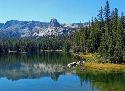
Crystal Lake
Mammoth Lakes, California
13.5 miles WUnlike many hikes in the Sierra's, Crystal lake can be done as a day hike and as the perfect way to get away for a bit. As hikers make their way to the lake, they will see the monolith Crystal...
Camp, Hike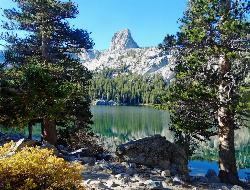
Crystal Crag
Mammoth Lakes, California
13.5 miles WVisible from all the lakes around, Crystal Crag stands tall and is a popular place to rock climb and go mountaineering. It stands at 10,100 ft in elevation, and includes a North Ridge and a South...
Rock Climb
Mono Hot Springs
Lakeshore, California
21.9 miles SWHot Springs and Swim near Lakeshore, California
Hot Springs, Swim
Salinas Area
Lakeshore, California
21.9 miles SWSwim near Lakeshore, California
Swim
Smith River Area
Lakeshore, California
21.9 miles SWSwim near Lakeshore, California
Swim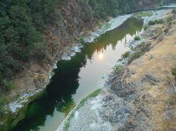
Standish Hickey Area
Lakeshore, California
21.9 miles SWStandish-Hickey is an inland river canyon that runs along Highway 101 just 180 miles from San Fransisco. It's home to a two-mile stretch of the south fork on Eel River, where many...
Backpack, Camp, Hike, Kayak, Swim
Santa Cruz Area
Lakeshore, California
21.9 miles SWSwim near Lakeshore, California
Swim 4.0 mi
Mono Pass
Yosemite Valley, CA
34.8 miles NWAt an elevation of 10,600 feet, the hike through Mono Pass is an 8 mile journey that takes you across the High Sierras, through several meadows, and stops at a few different lakes along the...
Hike, Swim 3.6 mi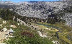
Lyell Canyon
Wawona, California
35.4 miles NWLyell Canyon is a breezy, 8 mile hike through the Tuloumne Meadows of Yosemite. While it is a little bit of a longer hike, the total elevation gain is about 200 feet, making it pretty flat and...
Hike 1.8 mi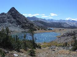
Gaylor Lakes
Yosemite Valley, CA
36.0 miles NWGaylor Lakes is one of Yosemite's most underrated hikes. It's a 2 mile trail with views the entire way. At various points along the trail, you can see Dana Meadows and the mountains...
Hike, Swim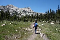
Elizabeth Lake
Wawona, California
37.9 miles NWElizabeth Lake is a gorgeous lake tucked underneath the High Sierras in Yosemite. It's about a 4.8 mile hike to reach it, with an elevation gain of 1000 feet. Even though it's not super long,...
Hike, Swim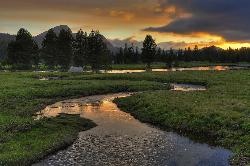
Tuolumne Meadows
Tuolumne County, California
37.9 miles NWA beautiful alpine meadow found in the upper Sierra Nevada Mountains. Open during the summer, this meadow offers excellent views of nearby granite domes and mountains. There is a roadway through...
Camp, Hike 0.8-4.1 mi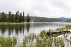
Dog Lake and Lembert Dome
Yosemite Valley, CA
38.2 miles NWThe hike to Dog Lake is often paired with the hike to Lembert Dome, because the two are so close in proximity. Each hike by itself is 2.8 miles round trip, but Lembert Dome has an elevation gain of...
Hike, Swim 4.0 mi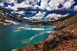
Saddlebag Lake
Lee Vining, California
38.6 miles NWA man-made lake found in the Inyo forest, resting at about 10,008 feet above sea level, Saddlebag Lake is located just outside the Tioga Pass entrance to Yosemite National Park. This lake has some of...
Camp, Canoe, HikeNearby Campsites

Wild Willy's Hot Spring
Mammoth Lakes, California
6.0 miles NWild Willy's Hot Springs, also known as Crowley Hot Springs, is a spring located in Long Valley. Long Valley is home to one of the highest concentrations of geothermal surface water in...
Camp, Hot Springs
Crystal Lake
Mammoth Lakes, California
13.5 miles WUnlike many hikes in the Sierra's, Crystal lake can be done as a day hike and as the perfect way to get away for a bit. As hikers make their way to the lake, they will see the monolith Crystal...
Camp, Hike
Standish Hickey Area
Lakeshore, California
21.9 miles SWStandish-Hickey is an inland river canyon that runs along Highway 101 just 180 miles from San Fransisco. It's home to a two-mile stretch of the south fork on Eel River, where many...
Backpack, Camp, Hike, Kayak, Swim
Tuolumne Meadows
Tuolumne County, California
37.9 miles NWA beautiful alpine meadow found in the upper Sierra Nevada Mountains. Open during the summer, this meadow offers excellent views of nearby granite domes and mountains. There is a roadway through...
Camp, Hike 4.0 mi
Saddlebag Lake
Lee Vining, California
38.6 miles NWA man-made lake found in the Inyo forest, resting at about 10,008 feet above sea level, Saddlebag Lake is located just outside the Tioga Pass entrance to Yosemite National Park. This lake has some of...
Camp, Canoe, Hike 6.0 mi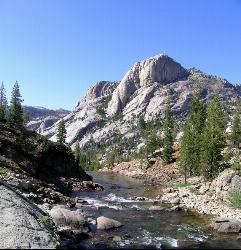
Glen Aulin
Wawona, California
42.4 miles NWThis is an 11 mile hike along the Tuolumne River to Glen Aulin. There is a view to take in at every turn on this hike, whether it's the Tuolumne River, Tuolumne Fall, Soda Springs,...
Backpack, Camp, Hike
Glen Aulin
Glen Aulin, California
42.4 miles NWThis trail is a popular route to take in the Yosemite High Country because it is a good introductory hike into the backcountry. At the end of the hike there are several waterfalls as well as a...
Backpack, Camp, Hike, Swim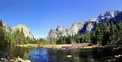
Merced River
Yosemite Valley, Yosemite National Park
46.1 miles WThe main fork of Merced River at Yosemite National Park is a perfect place to fish, swim, raft, and even pan for gold. The river circles around the center of Yosemite Valley, and almost every...
Camp, Swim, Whitewater 5.7 mi
Ten Lakes
Tuolumne Meadows, Yosemite National Park
47.0 miles NWA 6.4 mile hike will lead you to three of the Ten Lakes at Ten Lakes Basin. There are three possible trails to take to see this phenomenon. The shortest begins at Yosemite Creek. The other two...
Backpack, Camp, Hike


