


Cole loop
Culver, Oregon
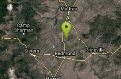
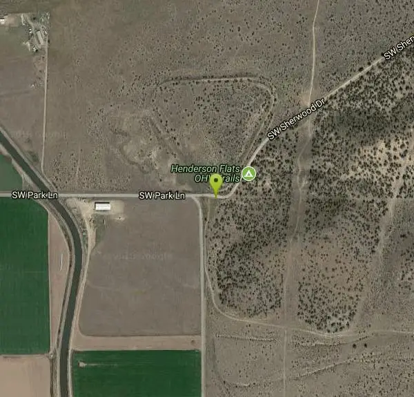
| Address: | ~SW Sherwood Dr, Culver, OR 97734, USA |
| GPS: |
44°25'9.4"N 121°9'30.1"W Maps | Directions |
| State: | Oregon |
| Trail Length: | 13.00 miles |
| Trail Type: | Loop |
| MTB Trail Type: | Singletrack |
Mountain Bike
Climb the cole loop. Courtesy of Singletracks.com
Never modify trail features. Ride trails when they're dry enough that you won't leave ruts. Speak up when you see others on the trail and always yield to hikers, horses, and others coming uphill. Always ride on the established trail.
Read More- Plan Ahead and Prepare
- Travel & camp on durable surfaces
- Dispose of waste properly
- Leave what you find
- Minimize campfire impacts
- Respect wildlife
- Be considerate of other visitors
Directions
From Culver, Oregon
- Head south on 4th Ave toward W C St (82 ft)
- Turn left at the 1st cross street onto W C St (0.2 mi)
- Turn right onto 1st Ave (0.3 mi)
- Slight left onto SW Culver Hwy (2.3 mi)
- Slight right onto US-97 S (5.0 mi)
- Turn left onto SW Park Ln (2.0 mi)
- Continue onto SW Sherwood DrDestination will be on the right(194 ft)
Other Mountain Bike Trails Nearby
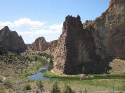
Smith Rock State Park
Terrebonne, Oregon
3.8 miles SSmith Rock is Oregon’s premier rock climbing destination, and one of the best sport climbing areas in the United States. This world-renowned sport climbing mecca has more than once been at...
Hike, Mountain Bike, Rock Climb 1.2-7.3 mi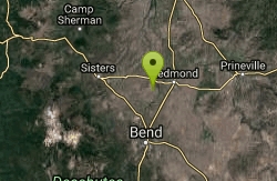
Juniper Trails
Redmond, Oregon
13.6 miles SWJuniper Trails is a wonderful destination for mountain bikers of all skill levels. The miles of trails are broken into longer and shorter loops. Beginners can feel confident riding on the main...
Mountain Bike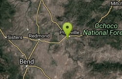
Lower Deschutes Wild and Scenic River
Prineville, Oregon
17.8 miles SEThe Lower Deschutes River is Central Oregon's playground. From white water rafting and swimming to hiking and biking, you'll find an ideal location for outdoor sports. Follow the Lower...
Mountain Bike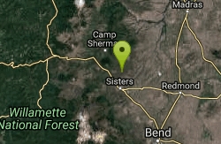
Stevens Canyon Loop
Sisters, Oregon
18.9 miles WSingle track, 20 mile loop, adopted from an old motocross loop.
Mountain Bike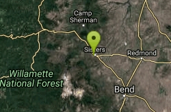
Peterson Ridge Loop
Sisters, Oregon
21.5 miles SWX-country riders will love this system. Basically this is an 18 mile loop with no less than 12 ‘connector’ trails running between the two sides, PT West &...
Mountain Bike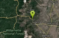
Butte Loops Trail
Sisters, Oregon
23.1 miles WThis trail consists of two loops: Upper Loop and Lower loop. The Lower Loop is on the low west flank of Black Butte and the Upper Loop circles Black Butte. source: fs.usda.gov...
Mountain Bike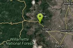
Suttle Lake Loop
Sisters, Oregon
25.6 miles WThe loop is about 2 miles approximately in length and the highway side of the lake is less congested as several campgrounds border the opposite side. The best part of this trail is not...
Mountain Bike
Horse Ridge Recreation Area
Bend, Oregon
26.1 miles SExcellent riding.
Mountain Bike
Phil's Trail
Bend, Oregon
28.3 miles SWSince this is the namesake for the entire trail system and the oldest trail in the area, I kind of expected a blown-out doubletrack. That is entirely NOT the case! COTA has done an...
Mountain Bike
Ben's Lower
Bend, Oregon
28.3 miles SWBen's is about 7 miles long one-way, and is split into basically two portions. The lower portion is all two-way, flowy cross country trail, but the upper section of Ben's is...
Mountain Bike
Prineville Resevoir campground trail
Prineville, Oregon
29.1 miles SEGreat single track. Rock and steeper inclines with some off camber parts of the trail make for some good technical riding. You can actually ride from Prineville Oregon State campground...
Mountain Bike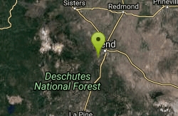
Entrada Loop Trail
Bend, Oregon
29.3 miles SNice for day hiking, or as a mountain bike connector to either the Tumalo Trail System or the Deschutes River Trail. source: fs.usda.gov
Mountain Bike
Horse Butte
Bend, Oregon
30.7 miles STrails in this area are good for those who want a less crowded alternative to the busy trails west of Bend. Please be considerate of other users since these trails are designated...
Mountain Bike
Arnold Ice Cave
Bend, Oregon
31.0 miles SThis trail travels from Coyote Loop Trail #3962.0 to Swamp Wells Campground. The Skeleton Cave Trail #3963.1 and the Fuzztail Butte Trail #3965 are accessed from this trail....
Mountain Bike
Swamp Wells Trail
Bend, Oregon
31.2 miles SThis trail extends from near Horse Butte, just south of Bend, to the north rim of Newberry Caldera. source: fs.usda.gov
Mountain Bike
Coyote Loop Trail
Bend, Oregon
31.4 miles SOpen sage and sparse forest with vistas of the Three Sisters to the northwest. source: fs.usda.gov
Mountain Bike
Inn Loop
Bend, Oregon
31.7 miles SWA moderately easy ride through some nice stands of lodgepole pine and ponderosa pine.Mileposts:0.0 - Trailhead parking lot at junction of FS roads 46 and 41. Head out on FS road 41.0.6...
Mountain Bike
Phil's Area
Bend, Oregon
32.1 miles SWUpdate 7/22/13 by mtbgreg1:The Phil's Area Trail System is the go-to trail system for mountain biking in Bend. Even the other trails in the region that aren't actually part of the...
Mountain Bike
Tumalo Trail System
Bend, Oregon
32.1 miles SWMassive trail system located west of Bend in the national forest.
Mountain Bike
Tumalo Creek
Bend, Oregon
32.1 miles SWThe Tumalo Creek Trail is 3.5 miles one-way and parallels Skyliner road. Starting at the Skyliner trailhead, the trail runs up near the road on the ridge side to the Tumalo Falls...
Mountain Bike


