


Cave Hole
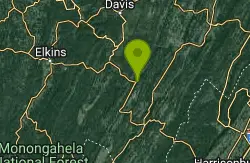
Seneca Rocks, West Virginia
| Address: | Shady Spring, WV, USA |
| GPS: |
38°50'21.8"N 79°22'5.9"W Maps | Directions |
| State: | Virginia |
Swim
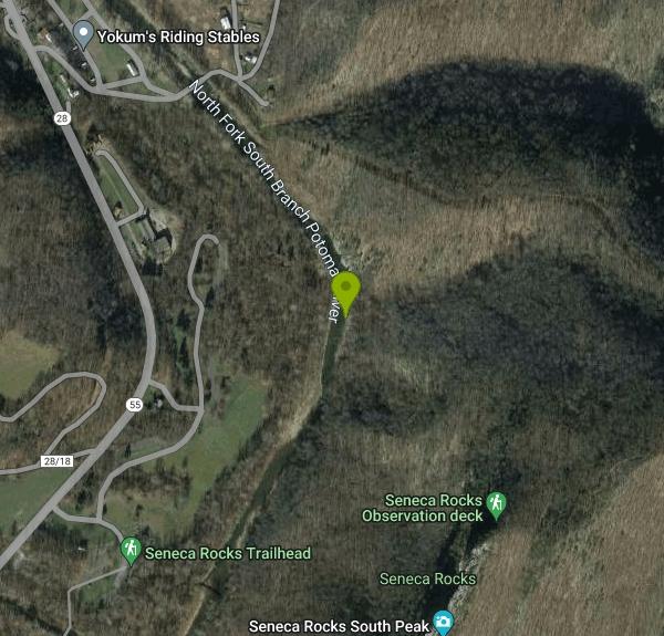
Cave Hole is a beautiful swimming hole near the famous Seneca Falls and Caverns Area. This lesser explored portion of the area provides visitors with a great way to cool off on a hot day. Unlike the caverns, and a few other places near here, Cave Hole requires no fee for entry or day use.
The swimming hole can be found on North Fork South Branch Potomac River. The water here is a beautiful blue green and has a rocky beach on either side for sun bathing and easy water access. The area surrounding the rocky beach has gray rocky cliffs rising above the water. The cliffs are covered with trees, creating a beautiful contrast between the lush green and gray rocks. The cliffs create beautiful reflections in the water, and provide shade some parts of the day.
Visitors should check water levels for safety and be cautious when entering the water. Footwear is recommended and diving is prohibited due to the rockiness of the river bottom.
More Information
- Plan Ahead and Prepare
- Travel & camp on durable surfaces
- Dispose of waste properly
- Leave what you find
- Minimize campfire impacts
- Respect wildlife
- Be considerate of other visitors
Directions
From Seneca Rocks, West Virginia
- Head northeast on WV-28 N/
WV-55 E toward County Rte 28/ 18 (0.3 mi) - Turn right (377 ft)
- Turn left (0.1 mi)
Other Swimming Holes Nearby
Seneca Falls
Seneca Rocks, West Virginia
0.6 miles SWSeneca Falls is a beautiful location near the famous Seneca Rocks. Seneca Falls is the perfect location for a challenging hike, with a beautiful swimming hole for hikers to take a break and cool down...
Hike, Swim
Upper Falls of Seneca Creek
Whitmer, West Virginia
6.7 miles WThe Upper Falls of Seneca Creek are a beautiful waterfall swimming hole at the end of a challenging hike. The Falls are is five miles North on Seneca Creek Trail from the parking area...
Swim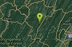
Big Bend
Cabins, West Virginia
7.6 miles NEBig Bend is a popular location on the Potomac River for swimming, hiking and camping. Big Bend campground is open to the public with campsites costing between $22 and $40 a night. The campground has...
Swim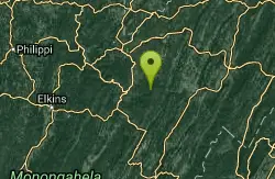
Red Creek
Davis, West Virginia
11.0 miles NRed Creek is a long out and back trail that gives visitors access to a variety of activities in beautiful scenery. The trail is 6.3 miles long and is moderately difficult. Along the way visitors can...
Camp, Hike, Kayak, Swim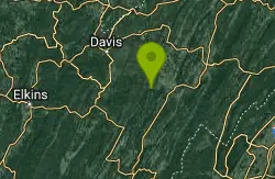
River Access Hole
Cabins, West Virginia
12.2 miles NERiver Access Hole is a spot on the North Fork of the South Branch of the Potomac River. This scenic forested area has beautiful rock formations and running water, creating breathtaking peaceful views...
Canoe, Kayak, Swim, Whitewater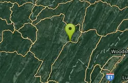
Petersburg Area
Parsons, West Virginia
18.7 miles NESwim near Parsons, West Virginia
Swim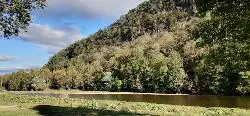
Welton Park
Petersburg, West Virginia
18.8 miles NEWelton Park is a beautiful 29 acre park on the Potomac River. Being easily accessible from Peterson, WV, this park is the perfect spot for visitors and locals alike to enjoy the outdoors. The park...
Swim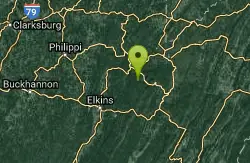
Otter Creek Area
Parsons, West Virginia
20.3 miles NWIn and around the Otter Creek Wilderness in the Monongahela N.F. are numerous swimming places in creeks. Bathing suits: Optional in some places
Swim 1.2 mi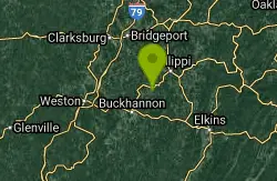
Mule Hollow
Elkins, West Virginia
20.8 miles WMule Hollow is a more private swimming hole just outside of Bemis. The swimming hole itself is located in Shaver's Fork river, and is a deep pool with little current from the river felt as you...
Swim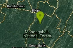
High Falls
Elkins West, Virginia
21.7 miles WHigh falls is a beautiful waterfall located in West Virginia, and is a popular hike with a spectacular location. The hike is about 7 and a half miles long and takes a little over 4...
Hike, Swim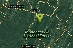
Bemis Area
Volga, West Virginia
22.6 miles WSwim near Volga, West Virginia
Swim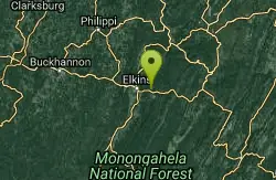
Stuart
Elkins, West Virginia
22.8 miles WAttractive, well developed swimming place, cool water, sandy beach, safe. Fees: Yes, $3.00 for day use
Swim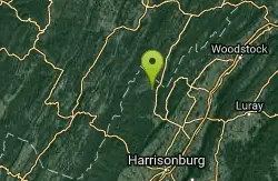
Blue Hole Bergton
Bergton, Virginia
23.9 miles EBlue Hole is a day use picnic area in Rockingham County Virginia. This picnic area is near a river that has been a popular spot for swimming and wading over the years. Do to flooding and erosion this...
Swim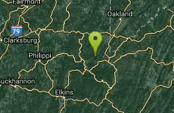
Horseshoe Bend Area
Webster Springs, West Virginia
26.7 miles NWSwim near Webster Springs, West Virginia
Swim
North River Gap
Mount Solon, Virginia
34.9 miles SNorth River Gap is a recreation area between Todd Lake and Stokesville Campground. Though smaller, North River Gap is well worth exploring and enjoying its unique features. One of North...
Camp, Hike, Swim
Stokesville Campground
Madison, Virginia
35.6 miles SSwim near Madison, Virginia
Swim
Natural Chimneys
Mount Solon, Virginia
36.6 miles SENatural Chimneys is known for its beautiful vertical limestone formations. These formations are coated with trees and vines and surrounded by rushing river water giving visitors an otherworldly view....
Camp, Hike, Mountain Bike, Swim
Kumbrabow State Park
Valley Head, West Virginia
38.5 miles WSwim near Valley Head, West Virginia
Swim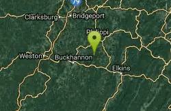
Audra State Park
Volga, West Virginia
40.0 miles WOrganized swimming place in river in state park; very unusual. Concrete pad for beach, lifeguards. Fees: Yes
Swim
Fridley Gap
Keezletown, Virginia
42.8 miles SEThe Mountain Run swimming hole, also known as the Fridley Gap Hole, located just outside of Keezleton, Virginia, is a popular swimming hole located at about the halfway point of a great hiking loop...
Hike, SwimNearby Campsites
Red Creek
Davis, West Virginia
11.0 miles NRed Creek is a long out and back trail that gives visitors access to a variety of activities in beautiful scenery. The trail is 6.3 miles long and is moderately difficult. Along the way visitors can...
Camp, Hike, Kayak, Swim
North River Gap
Mount Solon, Virginia
34.9 miles SNorth River Gap is a recreation area between Todd Lake and Stokesville Campground. Though smaller, North River Gap is well worth exploring and enjoying its unique features. One of North...
Camp, Hike, Swim
Natural Chimneys
Mount Solon, Virginia
36.6 miles SENatural Chimneys is known for its beautiful vertical limestone formations. These formations are coated with trees and vines and surrounded by rushing river water giving visitors an otherworldly view....
Camp, Hike, Mountain Bike, Swim


