11 Campsites near Crystal Crag
first prev 1 next lastShowing Campsites within 50 miles Distance miles of Woods Lodge Rd, Mammoth Lakes, CA 93546, USA City, Zip, or Address
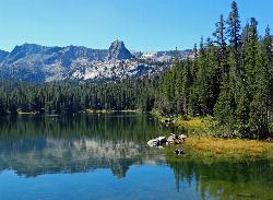
Crystal Lake
Mammoth Lakes, California
0.0 miles NUnlike many hikes in the Sierra's, Crystal lake can be done as a day hike and as the perfect way to get away for a bit. As hikers make their way to the lake, they will see the monolith Crystal...
Camp, Hike
Crowley Lake Campground
Crowley Lake, California
13.5 miles ENestled amidst the stunning Eastern Sierra region, Crowley Lake BLM Campground near Benton, California, is a hidden gem waiting to be discovered by nature enthusiasts and camping aficionados. With...
Camp
Wild Willy's Hot Spring
Mammoth Lakes, California
13.7 miles EWild Willy's Hot Springs, also known as Crowley Hot Springs, is a spring located in Long Valley. Long Valley is home to one of the highest concentrations of geothermal surface water in...
Camp, Hot Springs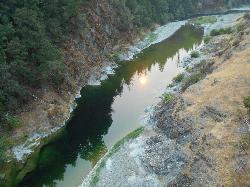
Standish Hickey Area
Lakeshore, California
19.2 miles SStandish-Hickey is an inland river canyon that runs along Highway 101 just 180 miles from San Fransisco. It's home to a two-mile stretch of the south fork on Eel River, where many...
Backpack, Camp, Hike, Kayak, Swim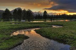
Tuolumne Meadows
Tuolumne County, California
26.3 miles NWA beautiful alpine meadow found in the upper Sierra Nevada Mountains. Open during the summer, this meadow offers excellent views of nearby granite domes and mountains. There is a roadway through...
Camp, Hike 4.0 mi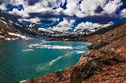
Saddlebag Lake
Lee Vining, California
28.8 miles NWA man-made lake found in the Inyo forest, resting at about 10,008 feet above sea level, Saddlebag Lake is located just outside the Tioga Pass entrance to Yosemite National Park. This lake has some of...
Camp, Canoe, Hike 6.0 mi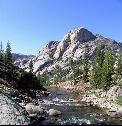
Glen Aulin
Wawona, California
30.7 miles NWThis is an 11 mile hike along the Tuolumne River to Glen Aulin. There is a view to take in at every turn on this hike, whether it's the Tuolumne River, Tuolumne Fall, Soda Springs,...
Backpack, Camp, Hike
Glen Aulin
Glen Aulin, California
30.7 miles NWThis trail is a popular route to take in the Yosemite High Country because it is a good introductory hike into the backcountry. At the end of the hike there are several waterfalls as well as a...
Backpack, Camp, Hike, Swim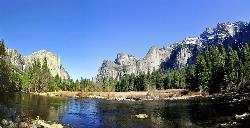
Merced River
Yosemite Valley, Yosemite National Park
32.7 miles WThe main fork of Merced River at Yosemite National Park is a perfect place to fish, swim, raft, and even pan for gold. The river circles around the center of Yosemite Valley, and almost every...
Camp, Swim, Whitewater 5.7 mi
Ten Lakes
Tuolumne Meadows, Yosemite National Park
34.6 miles NWA 6.4 mile hike will lead you to three of the Ten Lakes at Ten Lakes Basin. There are three possible trails to take to see this phenomenon. The shortest begins at Yosemite Creek. The other two...
Backpack, Camp, Hike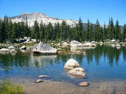
Crane Flat
Big Oak Flat, Yosemite National Park
44.2 miles WCrane Flat Campground is a meadow and forest between Tuolumne and Merced Groves of Giant Sequoias. The campground is 30 minutes outside Yosemite Valley, has restrooms and picnic...
Backpack, Camp, Hike, Snowshoe


