


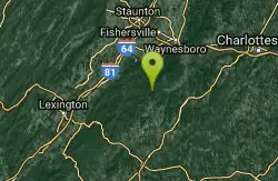
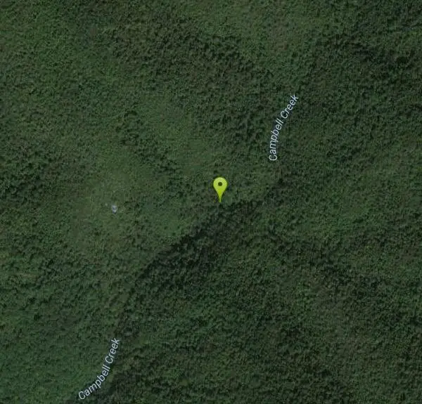
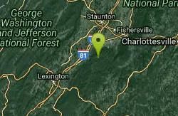
Campbell Creek
Tyro, Virginia
Swim
Bathing suits: Optional - pretty remote
More Information
- Plan Ahead and Prepare
- Travel & camp on durable surfaces
- Dispose of waste properly
- Leave what you find
- Minimize campfire impacts
- Respect wildlife
- Be considerate of other visitors
Directions
From Tyro, Virginia
- Head southeast on VA-56 E toward State Rte 680 (0.7 mi)
- Turn left onto State Rte 680 (6.3 mi)
- Turn left onto State Rte 664/
Beech Grove Rd Continue to follow Beech Grove Rd(4.2 mi) - Sharp left onto Blue Ridge Pkwy (1.9 mi)
- Turn left (0.1 mi)
Other Swimming Holes Nearby
St. Mary's Falls
Raphine, Virginia
6.5 miles NWSt. Mary's Falls is a beautiful swimming hole located in St. Mary's Wilderness. This unique swimming hole has beautiful blue green water and unique rock formations. These low rocks provide a...
Hike, Swim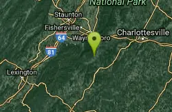
Pauls Creek
Nellysford, Virginia
8.1 miles NEPaul's Creek Trail is a beautiful short hike to a unique little swimming hole. From the parking lot to the waterfall and back is a quick and easy 1.2 mile hike. This makes this a beautiful hike...
Hike, Swim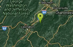
Big Marys Creek Slide
Vesuvius, Virginia
11.1 miles WBig Mary's Creek Slide is a popular destination for both locals and tourists. It is popular because of its beautiful waterfalls, cool clear water and the natural waterslide. The waterslide...
Swim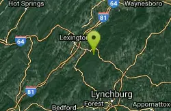
Panther Falls
Amherst, Virginia
19.5 miles SWSwim near Amherst, Virginia
Swim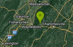
Mint Springs Valley Park
Crozet, Virginia
20.6 miles NEMint Springs Valley Park is a beautiful eight acre park with a variety of activities to enjoy. The park has two small lakes with beaches and is surrounded by forests with miles of trails. The park...
Hike, Mountain Bike, Swim 15.6 mi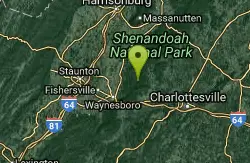
Sugar Hollow
Crozet, Virginia
22.8 miles NESugar Hollow Loop is an 11 mile hiking loop that starts and ends and Sugar Hollow Reservoir. While no swimming and boating are allowed at the reservoir, this is a fun place to enjoy the beautiful...
Hike, Swim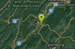
Ben Salem Wayside
Lexington, Virginia
22.9 miles WSwim near Lexington, Virginia
Swim 6.1 mi
Rip Rap Hollow
Crozet, Virginia
24.6 miles NERip Rap Hollow is a secluded swimming hole that makes for a great stop along the 10 mile loop hike in Shenandoah Valley. This is a difficult hike, but for those up to the challenge it provides...
Hike, Swim
Matts Creek Area
Clifton Forge, Virginia
28.7 miles SWSwimming places on the Appalachian Trail near the James River and near an A.T. shelter. A very pleasant 2.5 mile hike each way. Swimming holes near shelter will likely be very...
Swim
Charlottesville Area
Williamsville, Virginia
30.4 miles NETwo nice swimming places north of Charlottesville. For details... Fees: Yes
Swim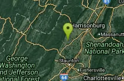
Natural Chimneys
Mount Solon, Virginia
33.7 miles NNatural Chimneys is known for its beautiful vertical limestone formations. These formations are coated with trees and vines and surrounded by rushing river water giving visitors an otherworldly view....
Camp, Hike, Mountain Bike, Swim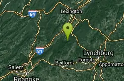
Arnold Valley Pool
Natural Bridge Station, Virginia
33.8 miles SWSwim near Natural Bridge Station, Virginia
Swim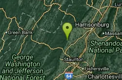
Stokesville Campground
Madison, Virginia
34.1 miles NSwim near Madison, Virginia
Swim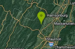
North River Gap
Mount Solon, Virginia
34.7 miles NNorth River Gap is a recreation area between Todd Lake and Stokesville Campground. Though smaller, North River Gap is well worth exploring and enjoying its unique features. One of North...
Camp, Hike, Swim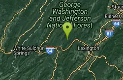
Cowpasture River Area
Millboro, Virginia
36.9 miles WSwim near Millboro, Virginia
Swim
Longdale
Clifton Forge, Virginia
38.7 miles WSwim near Clifton Forge, Virginia
Swim
North Creek Area
Mount Solon, Virginia
40.6 miles SWSeveral nice swimming holes near and in the Jefferson N.F. near I-81 and Buchanan. For details... Bathing suits: The Jennings Creek swimming holes are very...
Swim
Jefferson Pools
Warm Springs, Virginia
44.1 miles WNatural hot springs at 96-98 degrees bubble up from a rock floor into large pools which are housed in old wooden buildings, one for men, one for women, built in the 1700-1800's....
Swim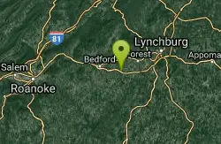
Big Otter River
Goode, Virginia
44.5 miles SWSwim near Goode, Virginia
Swim
Fridley Gap
Keezletown, Virginia
45.8 miles NThe Mountain Run swimming hole, also known as the Fridley Gap Hole, located just outside of Keezleton, Virginia, is a popular swimming hole located at about the halfway point of a great hiking loop...
Hike, SwimNearby Campsites
Natural Chimneys
Mount Solon, Virginia
33.7 miles NNatural Chimneys is known for its beautiful vertical limestone formations. These formations are coated with trees and vines and surrounded by rushing river water giving visitors an otherworldly view....
Camp, Hike, Mountain Bike, Swim
North River Gap
Mount Solon, Virginia
34.7 miles NNorth River Gap is a recreation area between Todd Lake and Stokesville Campground. Though smaller, North River Gap is well worth exploring and enjoying its unique features. One of North...
Camp, Hike, Swim


