


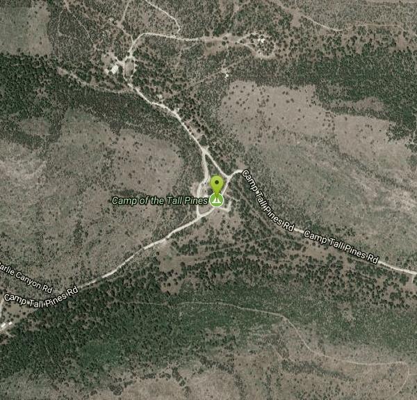
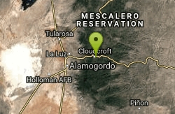
Camp of the Tall Pines
Mayhill, New Mexico
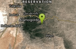
5.4 miles SW of Mayhill, New Mexico
| Address: | 105 Camp Tall Pines Rd, Weed, NM |
| GPS: |
32°49'46.3"N 105°32'16.5"W Maps | Directions |
| State: | New Mexico |
| Disc Golf Holes: | 18 |
| Disc Golf Course Length: | 6622 feet |
| Disc Golf Tee Type: | Rubber Mats |
| Disc Golf Target Type: | DISCatcher |
Disc Golf
Very scenic and technical with altitude changes and many ponderosas and pinons. Private (No Fee)Courtesy of DiscGolfUnited.com
More Information
Add Resource- Plan Ahead and Prepare
- Travel & camp on durable surfaces
- Dispose of waste properly
- Leave what you find
- Minimize campfire impacts
- Respect wildlife
- Be considerate of other visitors
Directions
From Mayhill, New Mexico
- Head south on US-82 W toward NM-130 (0.1 mi)
- Turn left onto NM-130 (5.1 mi)
- Turn left onto NM-24 (2.9 mi)
- Turn right onto Camp Tall Pines RdDestination will be on the right(1.1 mi)
From Cloudcroft; take Hwy 130 south 16 miles to a right on Hwy 24, 2.8 miles to a right on Camp Tall Pines Rd.Courtesy of DiscGolfUnited.com
to add photos & videos and suggest edits
Edit Review
Delete Review
Other Folf Courses Nearby
Add Location
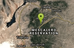
Zenith Park
Cloudcroft, New Mexico
14.4 miles NWIn picturesque pine forest at 9,000 ft. elevation. A mixture of open and tight holes with 27 distinctly marked tees. Full 27 plays 9,147 ft. and 13,6,8. Tees and signs need repair. Public (No Fee)
Disc Golf
Grindstone Park
Ruidoso, New Mexico
35.1 miles NChallenging - lots of trees, hills and water at 7000'. Mostly wooded. Public (No Fee)
Disc Golf


