Burro Pass
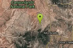
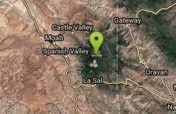
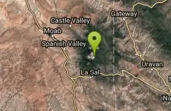
La Sal, Utah
| Address: | ~Forest Rd 0240, La Sal, UT 84530, USA |
| GPS: |
38°29'37.2"N 109°13'16.6"W Maps | Directions |
| State: | Utah |
| Trail Length: | 15.00 miles |
| MTB Difficulty: | Intermediate |
| Trail Type: | Loop |
| MTB Trail Type: | Singletrack |
Mountain Bike
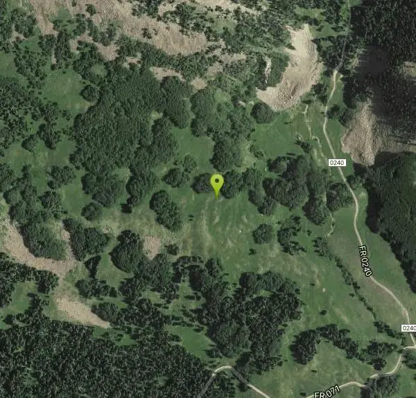
The Burro Pass trail climbs straight up from the road, gaining over a thousand vertical feet in a mile and a half. The top of Burro Pass is almost above treeline, sitting just below several gorgeous mountain tops. The top of the pass (over 11,000 feet above sea level) marks the official beginning of The Whole Enchilada descent, which drops 7,000 vertical feet all the way down to the green river.After you pass the top of the pass, the bottom drops out of the trail, descending as steeply as it climbed before. Rocks, roots, and creek crossings abound... hang on to your helmet! And prepare to shred!Lower down the trail mellows, flowing through the trees and eventually feeding into the Dry Creek trail. To continue The Whole Enchilada route, ride past the campground, down the gravel road, and pick up the Hazard County trail. Courtesy of Singletracks.com
Never modify trail features. Ride trails when they're dry enough that you won't leave ruts. Speak up when you see others on the trail and always yield to hikers, horses, and others coming uphill. Always ride on the established trail.
Read More- Plan Ahead and Prepare
- Travel & camp on durable surfaces
- Dispose of waste properly
- Leave what you find
- Minimize campfire impacts
- Respect wildlife
- Be considerate of other visitors
Directions
From La Sal, Utah
- Head east on UT-46 E (3.6 mi)
- Slight left onto 2 Mile Rd/FR0208 (4.6 mi)
- Turn left onto Dark Canyon Lake Rd/FR 0129Continue to follow Dark Canyon Lake Rd(2.3 mi)
- Turn right to stay on Dark Canyon Lake Rd (5.0 mi)
- Turn right at Geyser Pass Rd (0.6 mi)
- Continue straight (0.8 mi)
- Slight left toward Forest Rd 0242/FR0242 (469 ft)
- Continue onto Forest Rd 0242/FR0242Continue to follow Forest Rd 0242(1.3 mi)
- Turn right onto FR 4721 (0.4 mi)
- Turn right at the 1st cross street onto FR 0129 (0.6 mi)
- Turn right onto FR 071/Geyser Pass Rd (1.2 mi)
- Turn left onto Forest Rd 0240 (0.4 mi)
Other Mountain Bike Trails Nearby
LaSal Backside Singletrack
Moab, Utah
2.8 miles SThe LaSal Backside is a part of the "Whole Enchilada" trail network in Moab, Utah. The trail system is considered one of the best in the area and is full of world class rides. Most...
Mountain Bike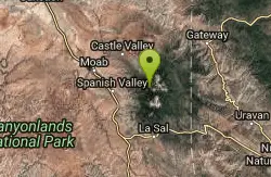
Moonlight Meadows & Clark Lake
Moab, Utah
2.9 miles WCow trail turned into a mountain bike trail! You'll dodge plenty of cattle during the summer but it's worth it for the green meadows, aspen groves, and short, technical bursts....
Mountain Bike
Hazard County
Moab, Utah
3.9 miles NWSuper fun downhill section with cool features on top and bermed turns from the middle to the bottom. Super fast, great views, and hairpin turns through the scrub brush. One of my...
Mountain Bike
The Whole Enchilada
Moab, Utah
8.5 miles NWThis trail encompasses several trails including Burro Pass, Hazard County, and Porcupine Rim. You start out at 10000ft, and climb about another 1400 to Burro Pass, then the downhill...
Mountain Bike
Paradox Trail
Paradox, Colorado
10.2 miles EThis "trail" connects the Tabeguache and Kokopelli's Trails and mostly follows jeep and forest roads. Trail is well marked with signage in many locations. Long, tough climb out of...
Mountain Bike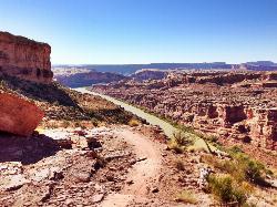
Porcupine Rim
Moab, Utah
12.2 miles NWA great mountain biking trail, Porcupine Rim takes bikers through some of the beautiful areas of Moab. The trail is also one of the most difficult and dangerous trails in the Moab area. There can...
Mountain Bike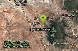
UPS And LPS
Moab, Utah
12.2 miles NWFollow Kokopelli for about 2 miles. 2-track road gets rocky, loose and rutted out in areas, but contains fun jumps and fast action. There are a couple of short climbs. Stay on trail...
Mountain Bike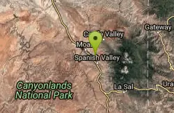
Flat Pass
Moab, Utah
14.0 miles WThis is a rugged jeep route which bears a lot of resemblance to the traditional Porcupine Rim route. There is an initial climb of 1,000 feet in the first four miles and 1,500 ft of...
Mountain Bike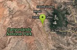
24 Hours Of Moab Race Course
Moab, Utah
14.3 miles WThis course was used in the 24 Hours of Moab Race before the race was shut down several years ago. Most portions of this trail are sandy, with some sections with a lot of sand. When the trail...
Mountain Bike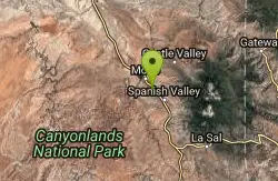
Pipe Dream
Moab, Utah
16.2 miles WA North/South route laced between the private property that is the town of Moab and the Moab Ridge standing on the west side of town. Skirting through the rough foothills below the...
Mountain Bike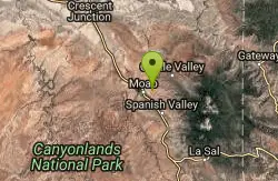
Fins n Things
Moab, Utah
16.6 miles WFins & Things is primarily a double-track loop ride off the Sand Flats Road about a mile past Slickrock. Terrain is varied, with rolling fins of sandstone and rough doubletrack on...
Mountain Bike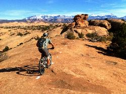
Slickrock Trail
Moab, Utah
17.2 miles WThese Moab trails are deceptively named for mountain bikes. This region was so named because the rock was slick for horseshoes. With mountain bike tires, you'll get insanely good grip that...
Mountain Bike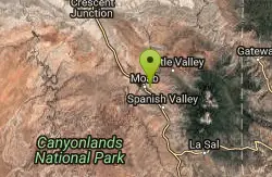
Slickrock
Moab, Utah
17.4 miles WThis trail is probably the most well known mountain bike trail in the country. That being said, it is not necessarily the BEST trail in the country. It is definitely unique due to the...
Mountain Bike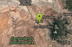
Moab Brand Trails
Moab, Utah
18.4 miles WGreat introduction to Moab riding. Start at the parking area for Bar M Chuckwagon and follow the signs. Ride the loop in a counter-clockwise direction (Bar M, then Bar B to Rockin'A...
Mountain Bike
Klonzo Area
Moab, Utah
19.2 miles WAll singletrack, most very new. Very well done. All intermediate in both technical and aerobic levels. The trails climb to the NE. Borderline is a gradual climb to Wahoo, which is a...
Mountain Bike
Prospector
Moab, Utah
19.3 miles WThe trail has both a high and low line, with the higher being the more difficult and slightly longer of the two options. The trail is singletrack cut into the side of the hill with...
Mountain Bike
Moab Rim
Moab, Utah
20.2 miles WThis trail is a 3 mile connector to the Hidden Valley Trail. The trail follows a primitive slickrock road and has good views of the Colorado River, the Moab Valley, and the sandstone...
Mountain Bike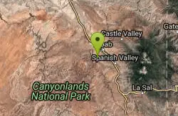
Hymasa
Moab, Utah
20.4 miles WHymasa is a brand-new (as of spring 2014) two-way singletrack trail that bypasses the main Amasa Back climb in the Amasa Back Area trail system. The beauty of this route is...
Mountain Bike
Amasa Back Trail
Moab, Utah
20.4 miles WI dismissed this trail after first reading the description due to the elevation gain (aprox '1400) but a friend talked me into doing it and I am glad she did, what a great ride! This is...
Mountain Bike
Pothole Arch Trail
Moab, Utah
20.4 miles WAfter climbing Amasa Back the trail forks off to the right. The singletrack will take you out and back to Pothole Arch and to the start of Rockstacker. Fun trail on slickrock and...
Mountain Bike