


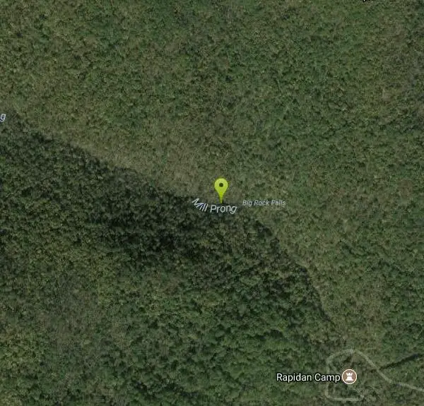
Big Rock Falls
Syria, Virginia
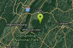
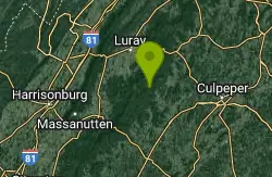
| GPS: |
38°29'43.4"N 78°25'26.8"W Maps | Directions |
| State: | Virginia |
| Trails/Routes: | 0.3 mi |
Rivers Waterfalls Trails
Hike and Swim
Big Rock Falls is an easy hike to a beautiful cascading waterfall. The hike follows Mill Prong River giving hikers a beautiful view of the flowing water, forests and rock formations for the entire hike. The hike to the Falls is 1.5 miles and is considered moderately difficult. There is a steady change in elevation and the trail is rocky. The trail is also well marked and easy to follow.
When the water is at higher flow there is a spot on Mill Prong river before you reach big falls where the water pools into a decent swimming hole. This gives visitors an opportunity to cool off and enjoy the clean water. Swimming is done at your own risk and swimmers should check water safety before swimming.
The fee to enter the park is $30 per vehicle. This pass is good for a week from time of purchase.
More Information
Be courteous, informed, and prepared. Read trailhead guidelines, stay on the trail, and don't feed the wildlife.Read More
- Plan Ahead and Prepare
- Travel & camp on durable surfaces
- Dispose of waste properly
- Leave what you find
- Minimize campfire impacts
- Respect wildlife
- Be considerate of other visitors
Directions
From Syria, Virginia
- Head southeast on VA-670 toward Bohannon Rd (1.7 mi)
- Turn right onto State Rte 649 (2.4 mi)
- Continue onto Rapidan Rd (5.2 mi)
- Continue onto Rapidan Fire RdRestricted usage road(0.4 mi)
- Turn leftRestricted usage road(0.6 mi)
Trails
Distance ?
0.3 milesElevation Gain ?
188 feetReal Ascent ?
188 feetReal Descent ?
0 feetAvg Grade (6°)
11%Grade (3° to 8°)
5% to 14%Elevation differences are scaled for emphasis. While the numbers are accurate, the cut-away shown here is not to scale.
Other Swimming Holes and Hiking Trails Nearby
Rose River
Syria, Virginia
3.4 miles ERose River Falls is a beautiful forested hike in Shenandoah National Park. The lush greenery in this area provides ample shade for hikers as they explore this four mile trail. Rose River Trail is...
Hike, Swim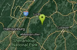
Old Rag Area
Crewe, Virginia
4.5 miles NEThere are numerous (we list 6 locations) swimming holes at the bottom of falls and elsewhere in rivers in the East Central region of the Shenandoah National Park, in the vicinity of...
Swim 2.8 mi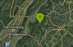
Cedar Run Falls
Oldrag, Virginia
4.5 miles NECedar Run Falls is a strenuous but rewarding hiking trail located in central Shenandoah National Park. This over 8 mile trail gives hikers views of six different waterfalls along the trail...
Hike, Swim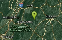
Rapidan Rivers
Madison, Virginia
4.6 miles SERapidian Rivers is a perfect location to cool off while enjoying the day at Shenandoah National Park. The water along the Rapidian Rivers deepens in several places creating several unique swimming...
Swim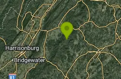
Whiteoak Canyon
Syria, Virginia
5.8 miles NEWhiteoak Canyon is a beautiful hiking area in Shenandoah National Park. This hike features two very unique waterfalls, Upper Whiteoak Falls and Lower Whiteoak Falls. Lower Whiteoak Falls is...
Hike, Swim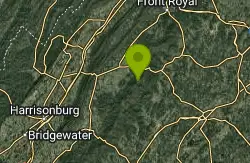
Nicholson Hollow Trail
Morning Star, Virginia
8.9 miles NENicholson Hollow Trail is a moderately strenuous trail that explores a more remote area of Shenandoah National Park. Hikers hoping to access this trail can find it off of Skyline Drive between Stoney...
Hike, Swim 5.1 mi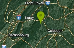
Hazel River Falls
Sperryville, Virginia
12.2 miles NEHazel River Falls is a moderately difficult trail located inside Shenandoah National Park. This 5.3 mile hike follows Hazel River from the Meadow Spring Parking Area. This trail has a change in...
Hike, Swim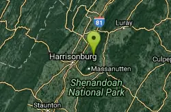
Fridley Gap
Keezletown, Virginia
15.4 miles WThe Mountain Run swimming hole, also known as the Fridley Gap Hole, located just outside of Keezleton, Virginia, is a popular swimming hole located at about the halfway point of a great hiking loop...
Hike, Swim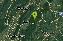
Piney River
Sperryville, Virginia
16.9 miles NEPiney River is a great location for visitors hoping to experience multiple swimming holes in the same location. Visitors hoping to reach the swimming holes should follow Cumberland Trail down Piney...
Hike, Swim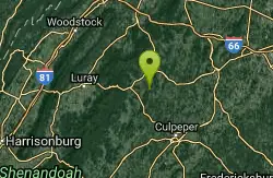
Rock Mills
Castleton, Virginia
19.3 miles NECLOSED. This property is owned by the Mt. Lebanon Baptist Church. Swimmers here without a permit will be prosecuted for trespassing. The Rock Mills swimming area, located near Castleton, Virginia, is...
Swim 3.8 mi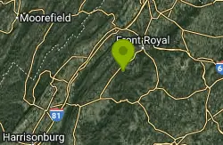
Overall Run Falls
Overall, Virginia
21.9 miles NOverall Run Falls is a challenging hike along one of Virginia's longest consecutively running waterfalls. Located in Shenandoah National Park, Overall Run Falls is accessible from Hogback...
Hike, Swim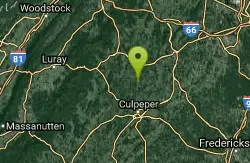
Hazel Falls
Rixeyville, Virginia
23.9 miles EHazel Falls is a beautiful swimming hold near Double Ford, Virginia. Though this swimming hole is not large or deep, the water is cool and clear. This remote swimming hole surrounded by beautiful...
Swim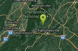
Charlottesville Area
Williamsville, Virginia
25.6 miles STwo nice swimming places north of Charlottesville. For details... Fees: Yes
Swim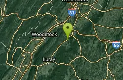
Overall Area
Crewe, Virginia
27.4 miles NSwim near Crewe, Virginia
Swim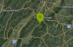
Gooney Creek
Front Royal, Virginia
27.5 miles NCamp, Hike, and Swim near Front Royal, Virginia
Camp, Hike, Swim 6.1 mi
Rip Rap Hollow
Crozet, Virginia
28.7 miles SWRip Rap Hollow is a secluded swimming hole that makes for a great stop along the 10 mile loop hike in Shenandoah Valley. This is a difficult hike, but for those up to the challenge it provides...
Hike, Swim
Elizabeth Furnace
Strasburg, Virginia
30.4 miles NElizabeth Furnace is a recreation area with many options for people hoping to reconnect with nature. This beautiful area is equip with a campground that allows visitors to explore for multiple days....
Camp, Hike, Mountain Bike, Rock Climb, Swim 15.6 mi
Sugar Hollow
Crozet, Virginia
30.4 miles SWSugar Hollow Loop is an 11 mile hiking loop that starts and ends and Sugar Hollow Reservoir. While no swimming and boating are allowed at the reservoir, this is a fun place to enjoy the beautiful...
Hike, Swim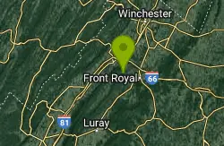
Buzzard Rock Hole
Strasburg, Virginia
31.5 miles NBuzzard Rock Hole is a popular swimming hole in the forests below the famous Buzzard Rock. The hike to Buzzard Rock is a moderate hike that can be anywhere from 4 to seven miles depending on what...
Hike, Swim
Blue Hole Bergton
Bergton, Virginia
33.0 miles NWBlue Hole is a day use picnic area in Rockingham County Virginia. This picnic area is near a river that has been a popular spot for swimming and wading over the years. Do to flooding and erosion this...
SwimNearby Campsites
Gooney Creek
Front Royal, Virginia
27.5 miles NCamp, Hike, and Swim near Front Royal, Virginia
Camp, Hike, Swim
Elizabeth Furnace
Strasburg, Virginia
30.4 miles NElizabeth Furnace is a recreation area with many options for people hoping to reconnect with nature. This beautiful area is equip with a campground that allows visitors to explore for multiple days....
Camp, Hike, Mountain Bike, Rock Climb, Swim
Natural Chimneys
Mount Solon, Virginia
37.0 miles WNatural Chimneys is known for its beautiful vertical limestone formations. These formations are coated with trees and vines and surrounded by rushing river water giving visitors an otherworldly view....
Camp, Hike, Mountain Bike, Swim
North River Gap
Mount Solon, Virginia
40.9 miles WNorth River Gap is a recreation area between Todd Lake and Stokesville Campground. Though smaller, North River Gap is well worth exploring and enjoying its unique features. One of North...
Camp, Hike, Swim


