


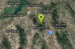
Bengal Ridge at ISU
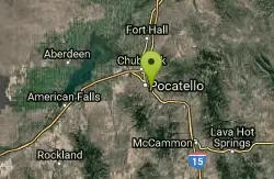
Pocatello, Idaho
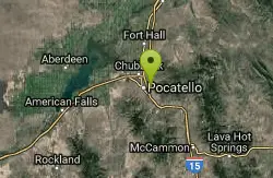
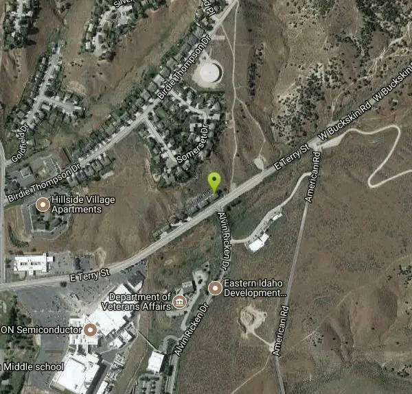
| Address: | 2450 E Terry St, Pocatello, ID |
| GPS: |
42°52'10.3"N 112°24'38.1"W Maps | Directions |
| State: | Idaho |
| Disc Golf Holes: | 18 |
| Disc Golf Course Length: | 6106 feet |
| Disc Golf Tee Type: | Brick |
| Disc Golf Target Type: | DISCatcher |
Disc Golf
Challenging desert course with extreme elevation changes and large scrubby junipers. . Public (No Fee)Courtesy of DiscGolfUnited.com
More Information
Add Resource- Plan Ahead and Prepare
- Travel & camp on durable surfaces
- Dispose of waste properly
- Leave what you find
- Minimize campfire impacts
- Respect wildlife
- Be considerate of other visitors
Directions
From Pocatello, Idaho
- Head southeast on N 7th Ave toward E Wyeth St (0.3 mi)
- Turn left onto E Center St (0.8 mi)
- Turn right onto S 19th Ave (0.7 mi)
- Turn left onto E Terry St (0.8 mi)
At Idaho State University. I-15; exit 69 eastbound (uphill), right on Hospital Way to left at end on E Terry St. Half mile, park on left, 1st tee up path 100'.Courtesy of DiscGolfUnited.com
Other Folf Courses Nearby
Ross Park
Pocatello, Idaho
1.8 miles SOn grass with elevation and large trees that force a variety of throws. Alt. pins throughout the seasons. Public (No Fee)
Disc Golf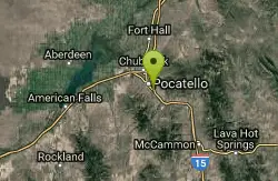
Upper Ross Park
Pocatello, Idaho
1.8 miles SOn grass with elevation and large trees that force a variety of throws. Alt. pins throughout the seasons. Public (No Fee)
Disc Golf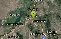
Sister City Disc Golf Course
Pocatello, Idaho
2.2 miles NW7 short holes in the grassy park followed by 11 in surrounding natural terrain. Back 9 fairly long (one at 700'!) and has significant elevation. Multiple pin positions. Posts mark the tees. Best...
Disc Golf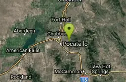
Idaho State University
Pocatello, Idaho
3.3 miles NEChallenging desert course with lots of elevation changes and large scrubby junipers. Public (No Fee)
Disc Golf
Blackfoot Disc Golf Course
Blackfoot, Idaho
22.9 miles NHalf the trees removed in 2005 due to drought. Sprinklers installed and grass everywhere now. Great for practicing rollers. Public (No Fee)
Disc Golf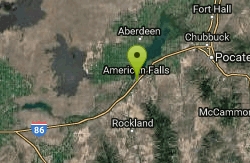
American Falls Disc Golf Course
American Falls, Idaho
23.4 miles WHoles 3-7 in a natural habitat that includes sagebrush, elevation, and trees. The other holes are in the park. Public (No Fee)
Disc Golf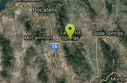
Lava Lion's Club Disc Golf Course
Lava Hot Springs, Idaho
26.2 miles SEVery tight and challenging - at the edge of the Portneuf River. Open, with long downhill and uphill throws, cliffs, and huge river hazards. Get map from website #2 - tees not installed yet. Public...
Disc Golf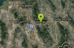
Lava Hot Springs Disc Golf Course
Lava Hot Springs, Idaho
26.5 miles SELong and open with a fun variety of elevation changes, mature trees and river hazards. Be sure to get map at web site - no tees installed yet. Public (No Fee)
Disc Golf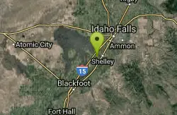
North Bingham County Park
Shelley, Idaho
37.0 miles NWell kept park. Public (No Fee)
Disc Golf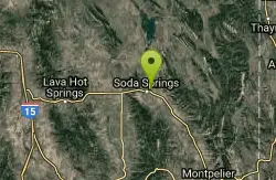
Soda Springs Disc Golf Course at Art Kelly Park
Soda Springs, Idaho
44.3 miles EVaried terrain, from open fairways with hazards, to narrow, wooded corridors. Spectacular views. Front 9 plays on perimeter of lower park - back 9 is more rugged and technical. Public (No Fee)
Disc Golf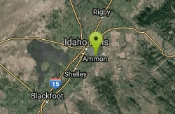
Woodland Hills
Idaho Falls, Idaho
46.0 miles NEGrassy with slight elevation and some young trees that can come into play. Course map near 1st tee and parking lot. An OB irrigation canal comes into play #3 and 4. Fun course layout with some...
Disc Golf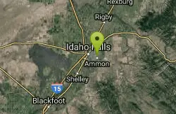
McCowin Park Disc Golf Course
Ammon, Idaho
47.5 miles NEShort - longest hole 333'. A few trees and fences for obstacles. Good for a quick game. Public (No Fee)
Disc Golf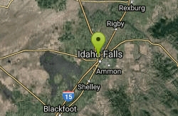
Freeman Park
Idaho Falls, Idaho
48.0 miles NA couple of creek crossings add to appeal. Snake river borders most of this beautifully maintained course. Good elevation and variety. Public (No Fee)
Disc Golf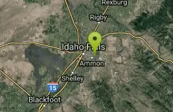
Eagle Point Park
Ammon, Idaho
48.1 miles NEPractice course with 3 baskets and 3 tees. Play each basket from each tee for 9 holes. Playground nearby. Private (No Fee)
Disc GolfNearby Campsites
Scout Mountain Campground
Pocatello, Idaho
12.5 miles SScout Mountain Campground is located on beautiful Scout Mountain at an elevation of 6,900 feet, just 13 miles south of Pocatello, Idaho. Scout Mountain is part of the Mink Creek area, a popular...
Camp, Hike
Sportsman's Park American Falls Reservoir
Aberdeen, Idaho
19.4 miles WThis beautiful 30-acre park is a multi-use area with facilities and activities for a variety of recreational uses. Situated adjacent to the American Falls Reservoir, it provides primary access to...
Camp, Canoe, Hike
Hawkins Reservoir Campground
Arimo, Idaho
25.0 miles S14 campsites on a small impoundment, which despite its size, attracts a great deal of wildlife. Spring through fall, plovers, sandpipers and geese frolic in the mudflats and swim in the waters....
Camp, Canoe
Pipeline Campground
American Falls, Idaho
26.4 miles W5 campsites on the Snake River near American Falls Reservoir. Fishing for trophy brown and rainbow trout. More than 30 species of migratory shorebirds rest at the reservoir. From the campground, you...
Camp
Blackfoot River Crossing at Trail Creek Road
Firth, Idaho
31.0 miles NEIn Soda Springs, ID 34 N for ~11 mi; R (E) on Blackfoot River Rd at mp 69.9; zero odometer; travel 10.4 mi; stay to the L as rd turns to gravel at mi 10.9; mi 13.7 pass Mill Canyon Campground; mi...
Camp
Firth River Bottoms
Firth, Idaho
32.1 miles NWhether you like to ride horses, picnic, camp, fish, learn about the past, or play baseball, this park has something for everyone. The Parks & Recreation Department and the IDaho Education...
Camp, Canoe, Hike
Downata Hot Springs
Downey, Idaho
37.3 miles SEDownata Hot Springs is a full-service hot springs resort south of Pocatello. During the summer, Downata offers a variety of activities for families including a large naturally-heated pool, four large...
Camp, Hot Springs, Swim
Sealander Park
Idaho Falls, Idaho
41.2 miles NThe story of Sealander park begins with Carl Sealander. Leaving Sweden in 1893 at the age of seventeen, Carl worked in mining communities across Colorado and Utah before meeting his wife, Lizzie...
Camp
Sublett Creek Campground
Malta, Idaho
49.1 miles SW5500-foot elevation. 9 campsites on Sublett Creek, and 2 miles east of Sublett Reservoir. Access to Sublett Reservoir from the north shore.Campground can be used for picnicking and holds 40 people....
Camp, Canoe


