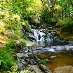
Beaver Creek Falls
Mapleton, Oregon
| Address: | Mapleton, OR 97453, USA |
| GPS: |
43°56'32.1"N 123°53'31.5"W Maps | Directions |
| State: | Oregon |
Hike
The Beaver Falls Trail is one of these rare spots for an outing in Columbia County. On the way, you can also visit Upper Beaver Falls, not spectacular, but a very pretty roadside attraction. As you drive down the bypassed section of old Highway 30 that is now called Beaver Falls Road, you will pass over several historic bridges that date to when the original road was completed in 1918. Columbia County has also maintained historic wood guardrails along the Beaver Creek canyon section of the road, similar to the restored guardrails in the Columbia River Gorge.Courtesy of oregonhikers.org
Download a GeoSpatial PDF Trail Map
More Information
Be courteous, informed, and prepared. Read trailhead guidelines, stay on the trail, and don't feed the wildlife.
Read MoreDirections
From Mapleton, Oregon
- Head southeast on OR-36 W toward OR-126 E (30 ft)
- Turn left onto OR-126 E/State Hwy 126 E (0.2 mi)
- Turn right onto S Bank Mapleton West Rd/Sweet Creek RdContinue to follow Sweet Creek Rd(11.7 mi)
- Slight leftDestination will be on the left(0.4 mi)
Travel Highway 126 to Siuslaw River Bridge in Mapleton, OR (15 miles east of Florence, OR or 46 miles west of Eugene, OR). Cross the bridge from town and make immediate turn west on Sweet Creek Road. After 10.2 miles, Homestead Trailhead is on the right. Continue on Sweet Creek Road to Sweet Creek Falls and Wagon Road Trailheads. To access the trail at the Beaver Creek Falls Trailhead, drive 0.2 miles beyond the Wagon Road Trailhead, then take the first fork left for 0.5 mile to the parking area.Courtesy of fs.usda.gov
Directions to West viewpoint:
- Follow Sweet Creek Road for 11.5 miles and park on the left at the Wagon Road Trailhead.
- Walk back over the bridge and locate the trail.
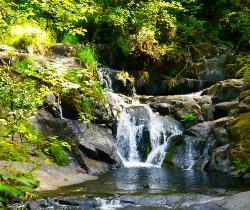
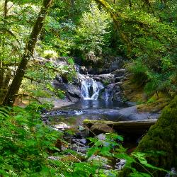
- In 0.5 miles the falls will be in view. Beaver Creek Falls is on the left with S. Canyon Creek Falls merging on the right.
Directions to East viewpoint:
Courtesy of oregonwaterfalls.net
- Follow Sweet Creek Road for 11.6 miles (0.1 mile past Wagon Road Trailhead).
- Turn left onto Forest Road 939 as indicated by a [trail marker]
- Follow this gravel road for 0.5 miles.
- Park past the sign at the widened area at the end near a closed gate.
- Hike back a short distance on the gravel road to the trail start.
Other Hiking Trails Nearby
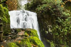
Sweet Creek Falls
Mapleton, Oregon
1.2 miles NWSuperbly family friendly, this collection of small waterfalls enhances a shady hiking trail with fun bridges and metal walkways skirting the creek. Delightful year-round! In this Coast Range...
Hike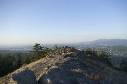
Spencer Butte
Eugene, Oregon
39.7 miles EIn need of a nearby hiking fix? Spencer Butte is the perfect place to get away from the city of Eugene and into the forest. Spencer Butte is a prominent landmark in Lane County, Oregon. It is...
Hike
Mount Pisgah
Eugene, Oregon
45.5 miles EMount Pisgah is a summit in Willamette Valley. It is a popular place for hiking, walking, and trail running because of how close it is to the city of Eugene and Springfield. The non-profit...
Hike


